How steep is the 4x4 road to Sasseneire in the Swiss Alps?
Sasseneire is a mountain peak at an elevation of 2,493 meters (8,179 ft) above sea level in the Pennine Alps, located in the Hérens district of Valais, Switzerland. The route starts on asphalt in Evolène before transitioning into a steep, unpaved 4x4 track toward the summit.
| Road facts: Sasseneire | |
|---|---|
| Location | Evolène, Valais (Switzerland) |
| Elevation | 2,493 m (8,179 ft) |
| Length | 5.4 km (3.35 miles) from Evolène |
| Elevation Gain | 1,100 m (3,608 ft) |
| Average Gradient | 20.37% |
| Surface | Asphalt / Unpaved (Loose stones and deep ruts) |
| Vehicle Required | High-clearance 4x4 with low range |
Where is the road to Sasseneire located?
The climb begins in the village of Evolène in the Val d'Hérens. The 5.4-kilometer track ascends 1,100 vertical meters up the slopes to reach the 2,493-meter peak near the Val de Moiry divide.
How steep is the 4x4 track to Sasseneire?
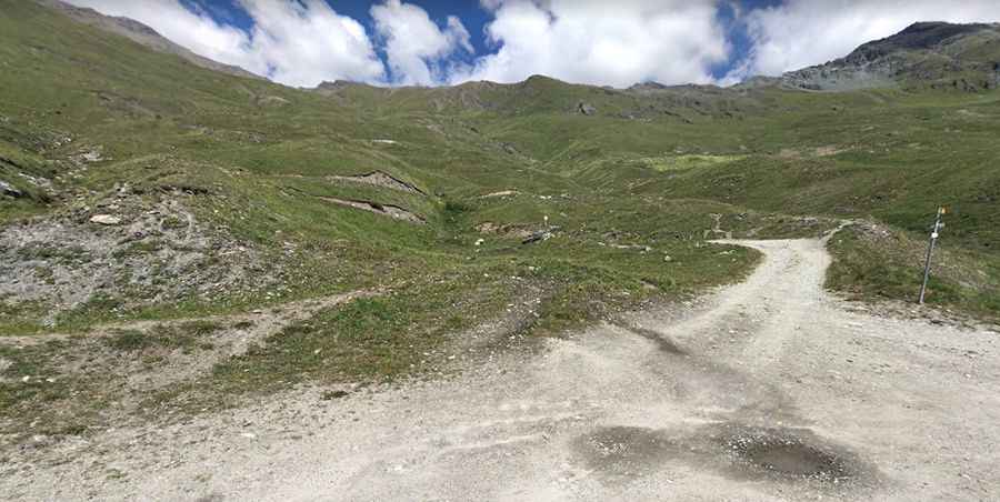
The route maintains a severe average gradient of 20.37%. While the lower section is paved, the upper track consists of loose gravel and sharp rock steps. A low-range 4x4 with high ground clearance is required to crawl over deep meltwater ruts without spinning the tires or hitting the undercarriage.
What are the hazards on the descent to Evolène?
The single-lane mountain path lacks safety barriers. Dropping 1,100 meters over just 5.4 kilometers puts extreme stress on the brakes. Drivers must engage the lowest gear to engine brake and prevent the vehicle from sliding on the loose stones and 20% slopes.
When is the road to Sasseneire open?
At an elevation of 2,493 meters, deep snow buries the track for most of the year. The route is only passable during a brief summer window from late July to September. Sudden summer thunderstorms can quickly turn the loose dirt surface into slick mud.
Pic: Joachim Segui