How to get to Arete de Sorebois in Valais?
Arête de Sorebois is a high mountain peak at an elevation of 2,834 m (9,297 ft) above sea level, located in Valais canton, in Switzerland. It’s one of the highest roads in the country.
Where is Arete de Sorebois?
The peak is located east of Lac de Moiry in the southern part of the country.
Why is it called Arete de Sorebois?
The former name of the Corne de Sorebois is “Cournier du Meidi.” The word “Sorebois” is derived from the Latin supra and means “above the forest.”
How long is the track to Arete de Sorebois?
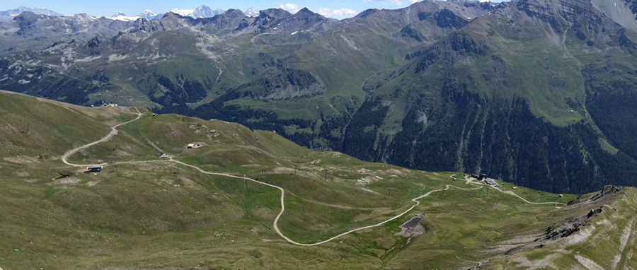
The road to the summit is totally unpaved. It’s a chairlift access trail. It’s about 10 km (6.2 miles) long starting from Zinal. The slope is very steep (over a 30% maximum gradient), and consists of loose stones, becoming even steeper and rocky in the upper part. North of the pass, the road leads to Corne de Sorebois, a high mountain peak at an elevation of 2.879m (9,445ft) above the sea level.
Is the road to Arete de Sorebois open in winter?
Set high in the Swiss Pennine Alps, the road is totally impassable in winters.
Pic: Yannick Balet