How to drive to Alpage d'Eison in the Val d'Hérens?
Alpage d'Eison is a high-altitude mountain pasture and seasonal settlement at an elevation of 2,400m (7,874ft) above sea level, located in the Canton of Valais, Switzerland. It is a prime example of a traditional Swiss alpage, where cattle graze during the summer months.
Where is Alpage d'Eison?
The alp is situated in the District of Hérens, in the southern part of Switzerland. It lies west of Lac de Moiry and sits on the slopes overlooking the village of Saint-Martin. The area is part of the Pennine Alps and offers views of the surrounding 4,000-meter peaks.
🇨🇭 Alpage d'Eison Technical Data
| Elevation | 2,400m (7,874ft) |
| Elevation Gain | 952 m |
| Avg. Gradient | 8.89% |
| Hairpin Turns | 12 |
| Starting Point | Saint-Martin (Valais) |
What is at the summit of Alpage d'Eison?
Beyond the pastures, the summit features a cluster of traditional stone and wooden buildings. Key landmarks include:
- Chapelle de L'A Vieille: A small, iconic mountain chapel.
- Chottes: Traditional huts, some of which have been converted into gîtes (mountain lodgings).
- Local Commerce: A shop selling regional products, including local cheeses, accompanied by a snack bar for hikers and drivers.
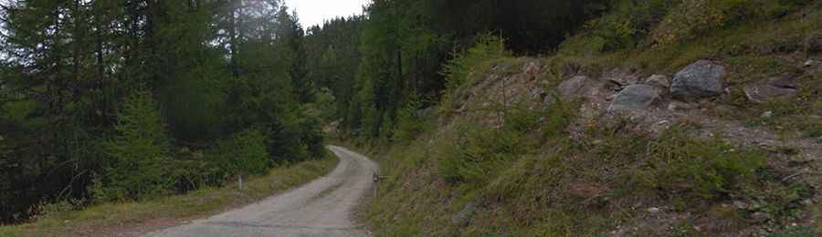
Is the road to Alpage d'Eison unpaved?
Yes, the road to the summit is totally unpaved and narrow. In many sections, the track is only wide enough for a single vehicle, making it impossible for two cars to pass each other. The ascent is technical, featuring 12 sharp hairpin turns and a rugged surface that requires careful driving.
How long is the road to Alpage d'Eison?
Starting from the village of Saint-Martin, the road is 10.7 km (6.64 miles) long. This is a significant climb with an elevation gain of 952m and an average gradient of 8.89%. Some ramps exceed this average, making it a challenging route for both vehicles and cyclists.