How to drive the unpaved road to Mont Rogneux in Valais?
Mont Rogneux is a high mountain peak at an elevation of 2.281m (7,483ft) above sea level, located in the canton of Valais in Switzerland.
Where is Mont Rogneux?
The peak is located in the district of Entremont, in the southeastern part of the country.
Is the road to Mont Rogneux unpaved?
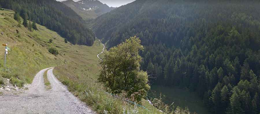
The road to the summit is totally unpaved, narrow and very steep. A 4x4 vehicle is recommended.
How long is the road to Mont Rogneux?
Starting from Liddes, the road to the summit is 8.9 km long. Over this distance, the elevation gain is 917 m and the average gradient is 10.30%.
Is the road to Mont Rogneux open in winters?
Set high in the Swiss Pennine Alps, the road is usually open year-round, though short-time closures in winters are common.