How to get to Palinkopf in the Samnaun Alps
Palinkopf is an international high mountain peak at an elevation of 2,863m (9,393ft) above sea level, located on the border between Switzerland and Austria. It’s one of the highest roads in the country.
Where is Palinkopf?
The summit, also known as Paliner Kopf, is located on the border between the Austrian state of Tyrol and the Swiss canton of the Grisons.
Is the road to Palinkopf unpaved?
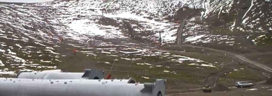
The road to the summit is totally unpaved. It’s a service road for the chairlifts at the summit, part of the Samnaun-Ischgl ski area. A 4x4 vehicle is required due to its steepness, hitting a 20% maximum gradient through some of the ramps.
How long is the road to Palinkopf?
Starting from Ischgl, in Austria, the road is 12.0 km (7.4 miles) long. Over this distance, the elevation gain is 1,505 m and the average gradient is 12.54%.
Is the road to Palinkopf open in winter?
Set high in the Samnaun Alps, the road can be done only in a very narrow time frame in the summer.
Pic: Ischgl Silvrettaseilbahn AG