How to drive the unpaved road to Refuge de Saint-Laurent in Valais?
Refuge de Saint-Laurent is a high mountain refuge at an elevation of 2.492m (8,175ft) above sea level, located in the canton of Valais in Switzerland.
Where is Refuge de Saint-Laurent?
The refuge is located south of Cleuson Lake, in the municipality of Nendaz, in the district of Conthey. At the refuge, a very rough gravel minor road climbs up to 2.558m (8,392ft) above sea level.
Is the road to Refuge de Saint-Laurent unpaved?
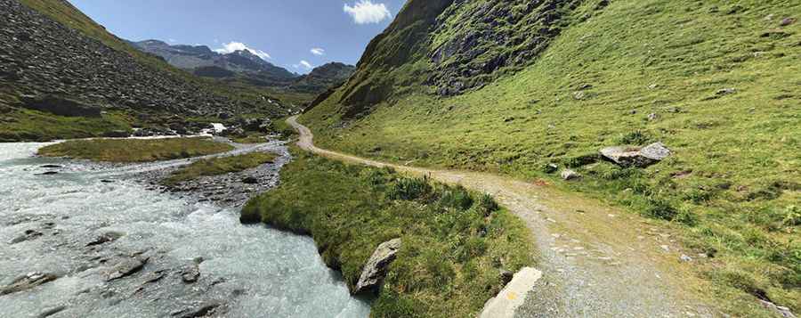
The road to the refuge is totally unpaved, very narrow (impassable for 2 cars at the same time), gravel and pretty steep with some hairpin turns. A 4x4 vehicle is required, though it’s closed to private vehicles. The drive overlooks the Valley of Nendaz and the panoramic view extends as far as the chain of the Bernese Alps.
How long is the road to Refuge de Saint-Laurent?
Starting from Siviez, the road to the summit is 8.5 km long. Over this distance, the elevation gain is 755 m and the average gradient is 8.88%. It’s a very scenic drive while running along the left side of the lake.
Is the road to Refuge de Saint-Laurent open year-round?
The road is only accessible in summer. It is impassable from November to May due the snow.
Pic: Arthur Le Ninan