How to drive the remote unpaved road to Cabane de Chanrion in Valais
Cabane de Chanrion is a high mountain hut at an elevation of 2.471m (8,106ft) above sea level, located in the canton of Valais in Switzerland.
Where is Cabane de Chanrion?
The hut is located at the end of the Valley of Bagnes, in the southern part of the country, near the Italian border.
When was Cabane de Chanrion built?
Built in 1890, the refuge is was used as a look-out point during the First World War due to the panoramic views it allowed and the proximity to the Italian border.
Is the road to Cabane de Chanrion unpaved?
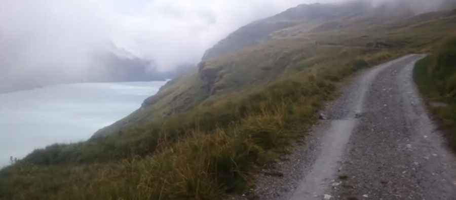
The road to the cabin is totally unpaved, pretty narrow and steep in parts. It runs along the western side of Lac de Mauvoisin and crosses a 1.5km long tunnel. It comprises some hairpin turns. A 4x4 vehicle is required.
How long is the road to Cabane de Chanrion?
Starting near the Lac de Mauvoisin dam, the road to the hut is 13.1 km long. Over this distance, the elevation gain is 676 m and the average gradient is 5.16%.
Can I drive the road to Cabane de Chanrion?
Set high in the massif of Combins, the road is subject to winter snowfalls with such a high summit altitude, and the road can be closed anytime when the access is not cleared of snow. It is only accessible in summer for people with special communal authorization.
Pic: Adam Glen