Road trip guide: conquering Lake Gruebu
Grüebusee is an alpine lake at an elevation of 2,862 m (9,389 ft) above sea level, located in the district of Visp in Switzerland.
Where is Lake Gruebu?
The blue mountain lake is located in the canton of Valais, in the southern part of the country, near the Italian border.
Why is it called Lake Gruebu?
In Swiss German, “Grüebu” likely comes from the word “Grube”, which means “pit,” “hollow,” or “depression” in English. So, Grüebusee could be interpreted as “Lake in the Hollow” or “Hollow Lake.”
Is the road to Lake Gruebu unpaved?
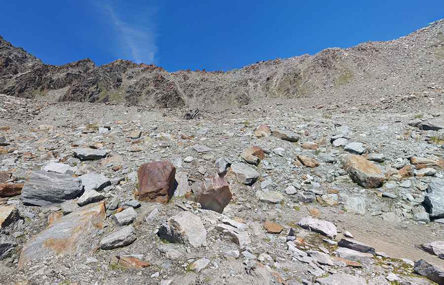
The road to the summit is mostly unpaved and not easy. Only the first four kilometers are asphalted. The rest of the climb is on a narrow road with 26 hairpin turns. It comprises narrow parts, loose gravel, and steep sections. 4x4 with high clearance only.
How long is the road to Lake Gruebu?
Starting from Saas-Balen, at the bridge over the Vispa, the road to the pass is 13.9 km (8.6 miles) long, running via Heimischgarten, a high mountain pass at an elevation of 2,770 m (9,087 ft) above sea level. Over this distance, the elevation gain is 1,336 m and the average gradient is 9.61%. The maximum gradients reach up to 20%.
Is Lake Gruebu open in winter?
It's one of the highest roads in the country. Set high in the Swiss Alps, the road is usually impassable from October to June (weather permitting).
Pic: Davide Bianda