Driving the steep road to Alpe Cortaccio in Ticino
Alpe Cortaccio is a high mountain pass at an elevation of 1,067m (3,498ft) above sea level, located in the district of Locarno, in Switzerland. It is widely considered one of the steepest paved climbs in the Swiss Alps.
| Road facts: Alpe Cortaccio | |
|---|---|
| Location | Ticino, Switzerland (near Italy) |
| Elevation | 1,067 m (3,498 ft) |
| Length | 7.1 km (4.4 miles) |
| Elevation Gain | 852 m |
| Hairpin Turns | 25 |
| Max Gradient | 22% |
Where is Alpe Cortaccio?
The pass is located in the canton of Ticino, in the southern part of the country, very near the Italian border.
Is the road to Alpe Cortaccio paved?
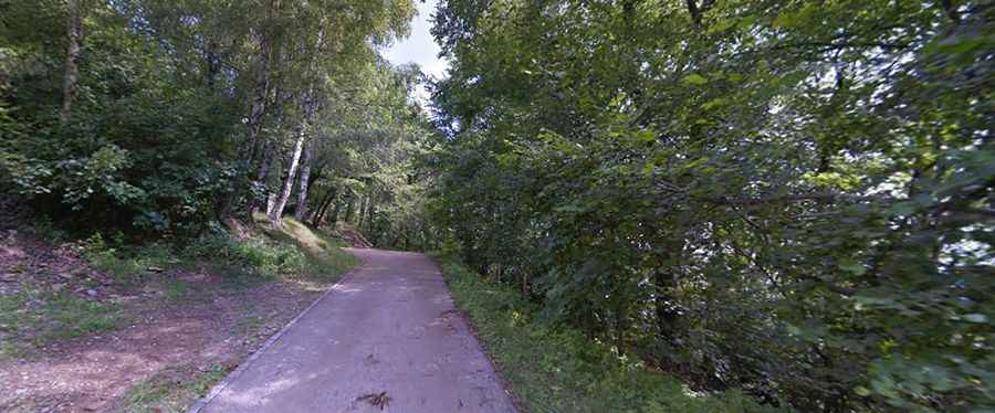
The road to the summit, which follows the Via Ghiridone, is totally paved but exceptionally narrow. The road overlooks the western shores of Lake Maggiore.
How challenging is the drive to Alpe Cortaccio?
The road is often flanked by traditional stone retaining walls on one side and steep, unprotected slopes on the other. Most stretches are only wide enough for a single vehicle, meaning drivers must be prepared to reverse to passing points if they encounter oncoming traffic. It can be unnverving for some drivers. It’s very steep in parts, and drivers will encounter several sections where the incline remains between 17% and 22%.
How long is the road to Alpe Cortaccio?
Starting from Brissago, the road to the summit is 7.1 km (4.4 miles) long, with an elevation gain of 852 meters. The drive maintains a grueling average gradient of 12%, but its most defining feature is a series of 25 sharp hairpin turns packed into a very short distance.
Is the road to Alpe Cortaccio dangerous in winters?
Set high in the Lepontine Alps, due to its extreme steepness and northern Italian-Swiss climate, the road can be challenging throughout the year. While the surface is paved, it can be treacherous in winter if ice or snow is present. The route passes through small hamlets like Incella and Piodina before reaching the alpine huts at the top.