How to drive the curvy paved road to Alpe di Cadinello?
Alpe di Cadinello is a high mountain pass at an elevation of 1,828 m (5,997 ft) above sea level, located in the southeastern part of Switzerland.
Where is Alpe di Cadinello?
The pass—also known as Alpe di Cadin—is situated on the boundary between the Grisons and Ticino cantons, near the Italian border.
Is the road to Alpe di Cadinello paved?
Yes, the road to the summit is completely paved, yet very challenging. Known as Strada de Làura, it is a narrow, serpentine route winding through the forest. Built in 1941 as a former military road, its tight dimensions and low clearances make it unsuitable for tall or wide vehicles.
How long is the road to Alpe di Cadinello?
Starting from Roveredo, the climb to the summit is 15.2 km (9.4 mi) long. South of the pass, the track continues on a rough gravel surface in very poor condition. Along the upper sections, the views over Bellinzona and all the way to Lake Maggiore are superb.
How to drive through Galleria di Cadolcia and Galleria Monte Laura?
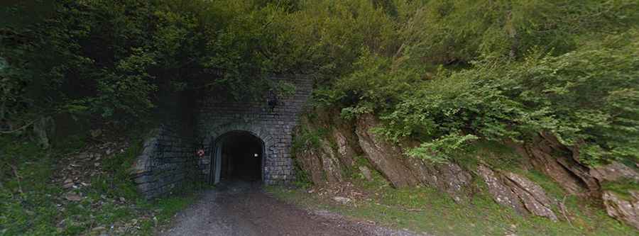
On the way to the summit, the road passes through two challenging, unlit, narrow rock tunnels that are completely impassable for two vehicles at the same time: Galleria di Cadolcia (250 m / 820 ft long) and Galleria Monte Laura (150 m / 492 ft long). Drivers must proceed slowly, use headlights, and check for oncoming traffic before entering.