How to drive to Juf, the highest village in Europe?
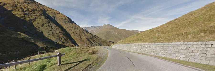
Juf is a high mountain village located at an elevation of 2,126m (6,975ft) above sea level in the canton of Graubünden, Switzerland. Situated in the Avers high Alpine valley, it is officially recognized as the highest village in Europe with year-round residents. The settlement lies at the base of the Septimerpass, surrounded by high Alpine peaks.
| Road facts: Juf | |
|---|---|
| Location | Graubünden, Switzerland |
| Length | 24.5 km (15.2 miles) |
| Elevation Gain | 1,013 m |
| Max Gradient | 10.5% |
| Surface | Paved |
| Hazard Level | Moderate (Alpine winter conditions) |
Is the road to Juf paved?
Yes, the road to the village is fully paved and generally maintained in good condition. However, despite the quality of the asphalt, driving this route requires caution due to its high altitude and typical Alpine characteristics. The road is subject to heavy winter snowfalls, and while it is kept open for the residents, it can be closed temporarily during severe storms if the snow clearing equipment cannot keep the access safe.
How long is the road to Juf?
Starting from the junction with Road 13, the road to Juf is 24.5 km (15.2 miles) long. The drive takes you through the heart of the Avers valley, gaining 1,013 meters in elevation. It is a steady climb that follows the natural path of the valley, offering a raw and high-altitude driving experience that ends in a "cul-de-sac" at the village itself.
What is the maximum gradient of the road to Juf?
While the average gradient over the 24.5 km stretch is a moderate 4.13%, the road features several steep sections that hit a maximum gradient of 10.5%. These ramps, combined with the fact that winters in this region can last for half the year, mean that winter tires and mountain driving experience are essential for much of the season.