Lenzerheide Pass
Lenzerheidepass is a high mountain pass at an elevation of 1.547m (5,075ft) above the sea level, located in the canton of Graubünden in Switzerland.
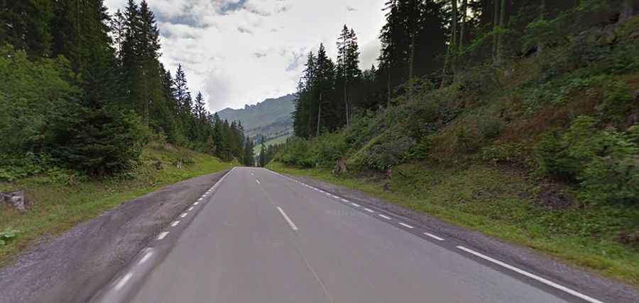
The road over the pass is asphalted. It’s called Hauptstrasse and links Chur (valley of the Rhine) and Tiefencastel (valley of the Albula). It has a well-deserved reputation for being dangerous because of unpredictable snowstorms and blizzards. The Lenzerheide road has a maximum grade of 11 percent and is open year-round, though road conditions frequently necessitate winter tires, especially between December and March.
There are 2 routes to reach the summit. Starting from Coira, the ascent is 17.6 km long. Over this distance, the elevation gain is 952 meters. The average percentage is 5.4 % and the maximum slope is 11 %. And starting from Tiefencastel, the ascent is 14 km long. Over this distance, the elevation gain is 713 meters. The average percentage is 5.1 %.