A brutally steep (35%) road to Col de Tanay
Col de Tanay is a mountain pass at an elevation of 1,440m (4,724ft) above sea level, located in the canton of Valais, in Switzerland. The road to the pass is extremely steep, with sections up to 35%.
Where is Col de Tanay?
The pass, also known as Col de Taney, is located south of Lake Geneva, in the western part of the country, near the French border.
Is the road to Col de Tanay paved?
The narrow, barely used road to the summit is totally paved. At the beginning, it is a big, fairly quiet, well-surfaced road, with plenty of hairpins, but suddenly, the surface of the road is in very poor condition. This road is truly crazy-steep.
How long is the road to Col de Tanay?
Starting from the village of Vouvry, the ascent is 10.4km (6.46 miles) long. The average slope is over 20.3%.
How to get to Lake Tanay?
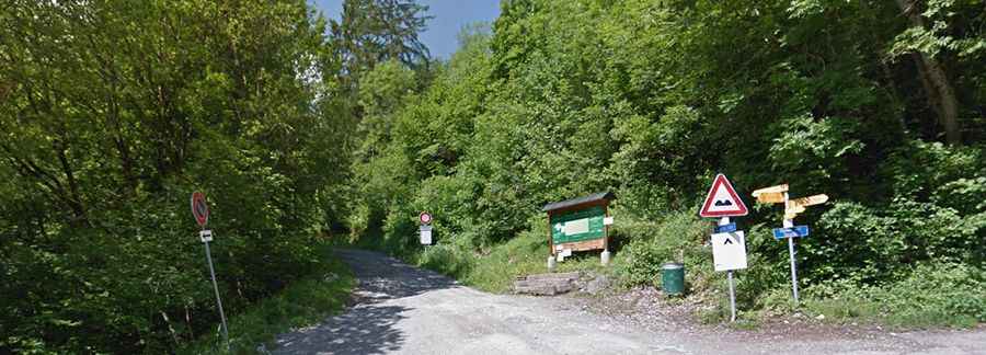
Set high in the Chablais Alps, beyond the pass, a little trail leads to Lake Tanay. This part of the road is closed to vehicles. The lake is a little past and below the col. It’s small, surrounded by quite a few chalets, and a restaurant.