How to drive the steep road to Alp Anarosa in Graubünden
Alp Anarosa is a high mountain pass at an elevation of 2.348m (7,703ft) above sea level, located in the Swiss canton of Graubünden.
Where is Alp Anarosa?
The pass is located north of Splügen, in the Viamala Region, in the eastern part of the country. The summit hosts a little parking lot, known as Tguma parkplatz.
Is the road to Alp Anarosa open year-round?
Set high in the Swiss Lepontine Alps, the road is usually impassable in winters due to the heavy snowfalls in the area.
Is the road to Alp Anarosa paved?
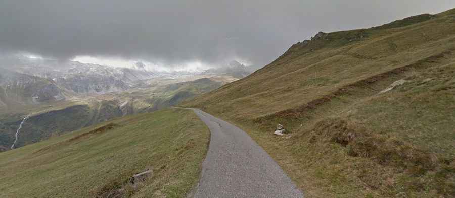
The road to the summit is called Curtginatsch (named after the main farmhouse at the end of the road). It is mostly paved. But the asphalt runs out completely at 2.325m, some 100m before the end. The last part of the climb is unpaved.
Is the road to Alp Anarosa difficult to drive?
The road is not easy, with very narrow parts, steep sections (hitting a 13.8% of gradient through some of the ramps) and many curves, with 26 hairpin turns.
How long is the road to Alp Anarosa?
Starting from Zillis, the ascent is 15.1km long. Over this distance, the elevation gain is 1.403 meters. The average percentage is 9.3%. Near the summit, a gravel road leads to Alp Curtginatsch, a high mountain pass at an elevation of 2.274m (7,460ft) above sea level.