A Paved Road to Col du Pillon in the Western Swiss Alps
Col du Pillon is a high mountain pass at an elevation of 1,546m (5,072ft) above sea level, located in Switzerland.
Where is Col du Pillon?
The pass is situated on the boundary between Vaud and Bern cantons, in the western part of the country. The summit hosts a large parking lot for the Glacier 3000 ski resort.
Is Col du Pillon Paved?
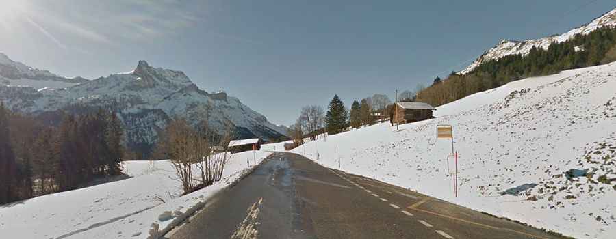
The road to the summit is fully paved and in excellent condition. It is known as Route du Pillon.
How Long is the Road through Col du Pillon?
The pass is 31.8 km (19.75 miles) long, running from Saanen (in the Obersimmental-Saanen district of the canton of Bern) to Ormont-Dessous (in the district of Aigle in the canton of Vaud).
Is the Road through Col du Pillon Open in Winter?
Set high in the Swiss Alps, the road to the summit is usually open year-round. At the summit, a winding mountain trail leads to the SAC hut Cabane des Diablerets, at 2,500 meters above sea level, near the summit of Tête aux Chamois.