The Wild Road to Tomul Pass
Tomül Pass (Tomülpass) is a high mountain pass at an elevation of 2.418m (7,933ft) above sea level, located in the Swiss canton of Graubünden. The road to the summit was built in the 1940s by Polish internees.
Is Tomul Pass unpaved?
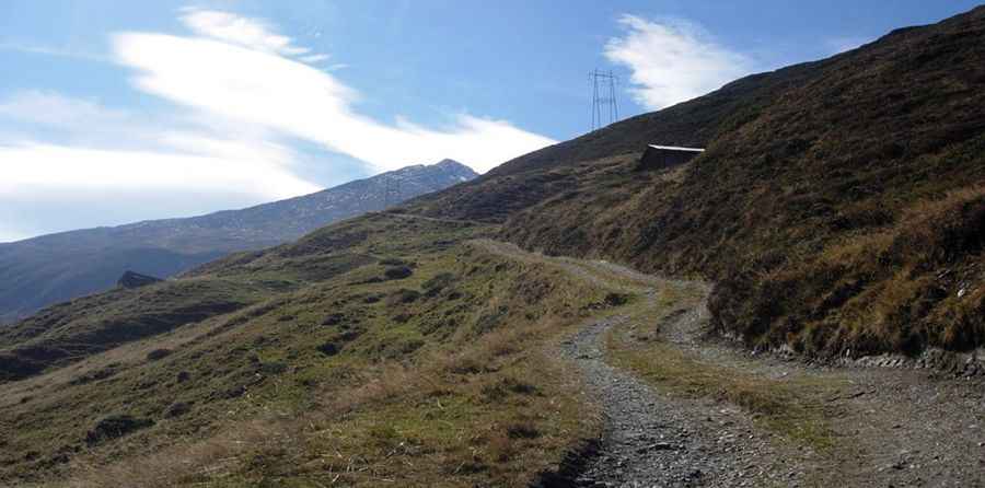
The road to the summit, known as “Path of the Poles”, is totally unpaved. The 2.5 metre-wide road runs from Gäste- und Ferienhaus Wanna to Alp Tomül. The steepest sections are overcome with switchbacks. At these points, the route is bordered by dry stone walls. In some stretches the roadbed is reinforced by a bumpy pavement.
When was the road through Tomul Pass built?
Originally, the Tomülpass was crossed by the Romans residing in the area who practiced mountain pasture agriculture. With the arrival of the Walser after 1300, the pass acquired greater importance as a link between the Walser municipalities in the Valsertal and Safiental valleys. Its crossing became safe only around 1880 with the construction of the carriage road. The eastern ascent from the Safiental to the Tomülpass and Alp Tomül was upgraded into a road suitable for light motor vehicles in the 1940’s. A significant role in construction was played by interned Polish soldiers, who during the 2nd World War carried out work on national defenses, road and bridge construction as well as farming, to manage defence systems on the Italian border.
Is Tomul Pass steep?
The road to the summit is brutally steep, hitting an 18% of maximum gradient through some of the ramps. Starting at Gäste- und Ferienhaus Wanna guest house, the ascent is 5.3 km (3.29 miles) long. Over this distance the elevation gain is 690 meters. The average gradient is 13.01%.
Pic: Stein Bock