If you love to drive, you'll love the road to Col de la Croix in Vaud
Col de la Croix is a high mountain pass at an elevation of 1,778m (5,833ft) above sea level, located in the canton of Vaud in Switzerland.
Where is Col de la Croix?
The pass is located north of Martigny, in the western part of the country. The pass summit itself consists only of a hill with a dirt parking lot, a small wooden gift shop, and a snack bar.
How long is Col de la Croix?
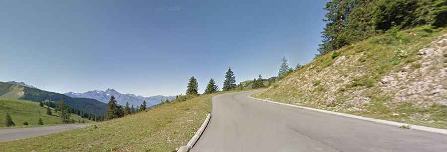
The road to the summit is fully paved and in pretty good condition. It’s called Route du Col de la Croix. It’s 26.9km (16.71 miles) long, running from Bex and Villars-sur-Ollon to Les Diablerets. The pass has been climbed by the Tour de Romandie and Tour de Suisse bicycle races.
How steep is Col de la Croix?
Starting from Ollon, the ascent is 18.5 km long. Over this distance, the elevation gain is 1,262 meters. The average percentage is 6.8%. And starting from Les Diablerets, the ascent is 8.4 km long. Over this distance, the elevation gain is 613 meters. The average percentage is 7.3%.
Is Col de la Croix open in winter?
Set high in the Alps, the pass is closed in winter to motorised traffic.