The iconic road to Oberalp Pass in the Swiss Alps
Oberalp Pass is a high mountain pass at an elevation of 2,048m (6,719ft) above sea level, located on the border between the Graubünden and Uri cantons in Switzerland.
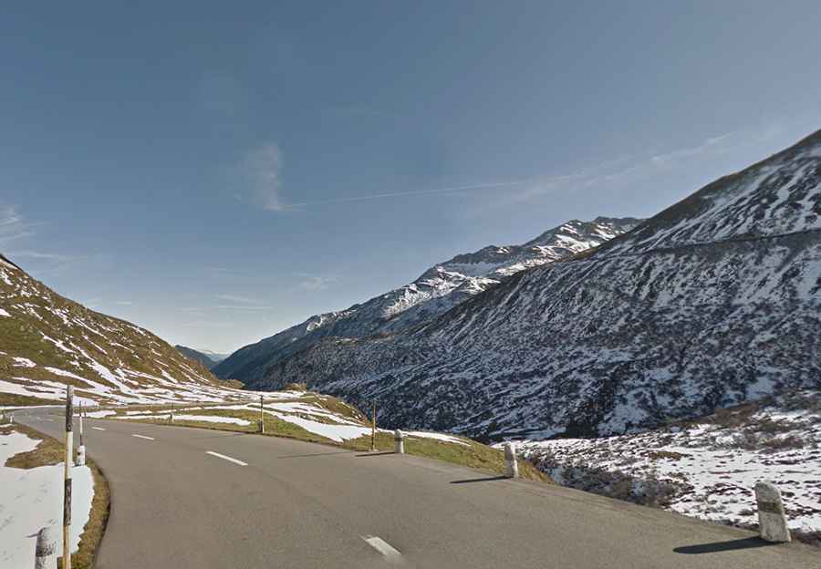
Can you drive to Oberalp Pass?
The wide road to the summit (also known as Alpsu d'Ursera and Oberalppass) is entirely paved. It’s called Route 19.
When was Oberalp Pass built?
The road to the summit was constructed in 1862/63. It's an iconic pass in the Swiss Alps.
How long is Oberalp Pass?
The pass is 32km (19.88 miles) long, running from Disentis to Andermatt. This pass has fewer amounts of traffic compared to other passes in the region. The road is very steep, hitting a 10% maximum gradient through some of the ramps. During the summer, the summit of the pass is a rather busy place, with motorcyclists, campers, and hikers.
Is Oberalp Pass open?
Set high in the central region of the Swiss Alps, this road is usually impassable from the end of October through the end of April, sometimes not until mid-May.
How did a lighthouse end up on the Oberalp Pass?
A 14-m-high lighthouse stands on the summit at over 2000 meters above sea level: it’s the twin of Rotterdam’s Hoek van Holland lighthouse. The lighthouse on the pass stands symbolically at the source of the Rhine.