Collado del Muñón: Driving the 10% unpaved climb from La Cueta
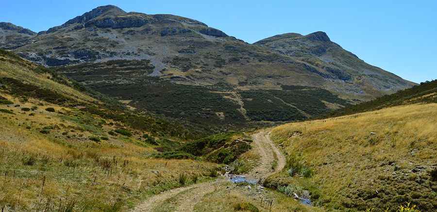
Collado del Muñón is a high mountain pass at an elevation of 1,768 meters (5,800 ft) above sea level, located in the León province of Castile and León, Spain. Situated within the Cantabrian Mountains, the road to the summit climbs from the high valleys of the Babia region.
| Road facts: Collado del Muñón | |
|---|---|
| Location | León, Castile and León (Spain) |
| Elevation | 1,768 m (5,800 ft) |
| Length | 3.1 km (1.9 miles) from La Cueta |
| Elevation Gain | 315 m |
| Average Gradient | 10.16% |
| Surface | Unpaved (Dirt and loose limestone) |
Where does the track to Collado del Muñón start?
The unpaved mountain track begins in the town of La Cueta, the highest village in the Babia region of León. The 3.1-kilometer route climbs the open limestone massifs that mark the geographic boundary between the provinces of León and Asturias, ending at the upper mountain pass crest.
How steep is the road to Collado del Muñón?
The short ascent is 3.1 kilometers long and gains 315 vertical meters of elevation, resulting in a sustained average gradient of 10.16%. The track is entirely unpaved, featuring a narrow lane with a loose surface of limestone rock debris and bare dirt. Due to the relentless gradient and loose stone ground, a high-clearance 4x4 vehicle is required to maintain tire traction and avoid spinning on the steep ramps.
Is the Collado del Muñón track open in winter?
The single-lane mountain path lacks side guardrails, safety barriers, or winter maintenance. Due to its 1,768-meter altitude, heavy winter snowfall and ice accumulation close the track completely during the coldest months. After rainfall or during the spring thaw, the high-altitude dirt base turns into thick mud, making the steep trackbed slick and impassable until the surface dries completely.
Pic: Isidro Fernández