How to drive the paved road to Cerro de Los Murciélagos in Cordoba?
Cerro de Los Murciélagos is a mountain peak at an elevation of 982m (3,221ft) above sea level, located in the southwest of the province of Cordoba, in Spain.
Where is Cerro de Los Murciélagos?
The peak is located in the autonomous community of Andalusia, in the southern part of the country.
What’s at Cerro de Los Murciélagos?
At the summit there’s a small parking and a cave, known as Cueva de Los Murciélagos, with ibex and Neolithic human remains and representative Palaeolithic paintings of horses, bears and deer. The cave is named after the murciélagos (bats) that inhabit it. The caves were discovered in 1868 but they were not studied until 1938.
Is the road to Cerro de Los Murciélagos paved?
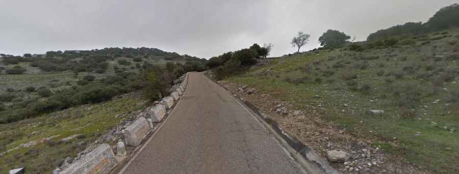
Located within the Natural Park of the Sierras Subbéticas, the road to the summit is fully paved yet narrow. It’s called CV-247. It’s a beautiful road set in the mountains of Andalusia. The road ends on a parking lot with great views.
How long is the road to Cerro de Los Murciélagos?
The road is pretty steep. Starting from the village of Zuheros (on the CV-178 road), the ascent is 4.1 km long. Over this distance the elevation gain is 312 meters. The average gradient is 7.60%.