How to drive the unpaved road to Montaña de Sesa in Huesca
Montaña de Sesa is a high mountain pass at an elevation of 1.761m (5,777ft) above sea level, located in the province of Huesca, in Spain
Where is Montaña de Sesa?
The summit is located in the autonomous community of Aragon, in the northern part of the country.
Is the road to Montaña de Sesa unpaved?
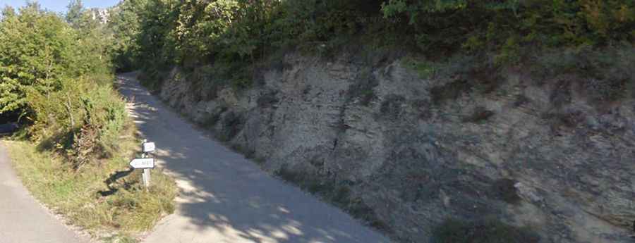
The road to the summit features a mix of concrete and unpaved sections. While it is accessible to standard passenger vehicles, high clearance is highly recommended. The route terminates at a parking area known as Aparcamiento de Plana Canal, which serves as the trailhead for the path to Refugio de Plana Canal, though further vehicle access is blocked by a barrier.
How long is the road to Montaña de Sesa?
Starting from Puértolas, the road to the summit is 10.3 km long. Over this distance, the elevation gain is 626 m and the average gradient is 6.07%.
Is the road to Montaña de Sesa open year-round?
Set high in the Sobrarbe comarca, the road is not plowed in winters.