How to drive the unpaved road to Pico Patana in Asturias
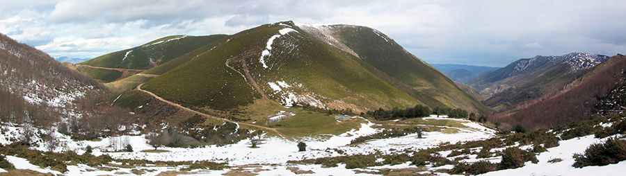
Pico Patana is a high mountain peak at an elevation of 1.526m (5,006ft) above sea level, located in the province and autonomous community of Asturias, in Spain.
Where is Pico Patana?
The peak, locally known as La Prida, Escuríu and El Escuréu, is located in Cangas del Narcea parish, in the northern part of the country.
Why is there a road to Pico Patana?
At the summit there are some communication facilities.
Is the road to Pico Patana unpaved?
The road to the summit is totally unpaved, with loose rocks and gravel. It comprises narrow parts and very steep sections, especially near the summit. Strongly required making your way through with a high-clearance 4WD vehicle.
How long is the road to Pico Patana?
Starting from Las Cuadriellas de Ambres, the road to the summit is 4.8 km long. Over this distance, the elevation gain is 366m and the average gradient is 7.62%.
Is the road to Pico Patana open year-round?
Set high in the Sierra de la Cabra mountain range, the road is open year-round, but short-time closures in winters are possible.
How to drive to Collado de los Cadavales?
On the way to the summit, the road climbs up to Collado de los Cadavales, a mountain pass at an elevation of 1.351m (4,432ft) above sea level.
Pic: Carlos Gonzalez