Driving the classic Puerto de Pajares, a must do in Spain
Puerto de Pajares is a mountain pass at an elevation of 1.381m (4,530ft) above sea level, located in the northern part of Spain. For many years it was the main route in and out of Asturias.
Where is Puerto de Pajares?
The pass is located on the boundary between León province (Castile and León) and the Principality of Asturias, in the northern part of the country.
Is Puerto de Pajares paved?
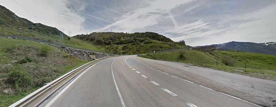
The road to the summit is totally paved. It’s called N630 road. This pass was traditionally the main transport route between Asturias and the Central Plateau, before the construction of the AP-66 road. However, there is high volume of traffic on the road yet, including a significant number of trucks.
Is Puerto de Pajares steep?
Set high in the Cantabrian Mountains, access to the pass is typically open all year round, with the occasional closure in winters due to dangerous weather conditions. The summit hosts a restaurant and a parking lot. The pass is known for strong snowfalls in winter, the fog in the summer nights, the slopes that reach up to 17% officially, and the nearby ski resort, Valgrande-Pajares. It’s said to be the steepest national road in the country.
How long is Puerto de Pajares?
The pass is 32.0km (19.8 miles) long, running north-south from Campumanes (Asturias) to Villamanín (Castile and León). The pass has been featured on the Spanish Vuelta race many times.