How to drive the old mining road to Collado de la Mina in Sierra de Baza?
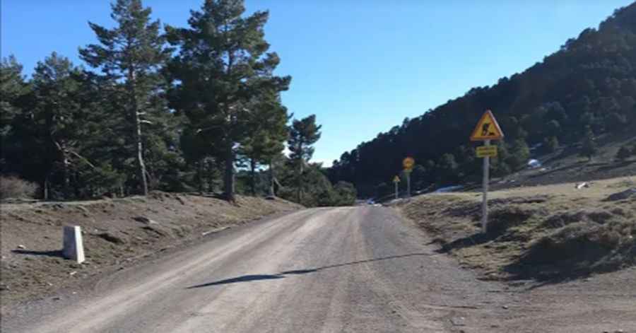
Collado de la Mina is a high mountain pass at an elevation of 2,024 meters (6,640 ft) above sea level, located in the Granada province of Andalusia, southern Spain. Situated within the Sierra de Baza Natural Park, the route follows an old unpaved industrial road originally built to access the historical mining sites of the area.
| Road facts: Collado de la Mina | |
|---|---|
| Location | Sierra de Baza, Granada, Andalusia (Spain) |
| Elevation | 2,024 m (6,640 ft) |
| Length | 14.5 km (9 miles) from Las Juntas |
| Surface | Unpaved (Gravel, dirt, and mine debris) |
| Key Landmark | Refugio Prados del Rey |
How difficult is the road to Collado de la Mina from Las Juntas?
Starting from the locality of Las Juntas, the ascent to the pass is 14.5 kilometers long. The road surface consists of degraded gravel, coarse dirt, and sharp mineral debris left over from the old mining operations. The track crosses the high-altitude meadows of Prados del Rey, where the surface becomes soft and deeply rutted during the spring thaw, requiring a high-clearance 4x4 vehicle to avoid grounding the chassis on the irregular stone trackbed.
What are the driving hazards in the Sierra de Baza Natural Park?
The single-lane track runs through isolated mountain territory with no side protections or safety barriers. Near the 2,024-meter summit, the route passes the Refugio Prados del Rey, an unguardated stone shelter. The primary hazards are sharp mining rocks that can cut tire sidewalls and sudden mountain storms that wash out the dirt track. In winter and early spring, snow drifts regularly block the higher sections of the pass, turning the clay dirt into slick mud along the open ridges.
Pic: Jesús Pérez