How to drive the unpaved road to Peña Telera in Huesca
Peña Telera is a high mountain pass at an elevation of 1.791m (5,875ft) above sea level, located in the province of Huesca, in Spain.
Where is Peña Telera?
The pass is located in the autonomous community of Aragon, in the northeastern part of the country, near the border with France.
Is the road to Peña Telera unpaved?
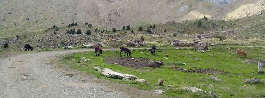
The road through the pass is totally unpaved, with loose gravel. It comprises narrow parts, steep sections and many turns. A 4x4 vehicle is required.
How long is the road to Peña Telera?
Starting from Sandiniés the ascent is 11.0 km long. Over this distance the elevation gain is 529 meters. The average gradient is 4.81%.
Is the road to Peña Telera open year-round?
Set high in the midst of the Pyrenees, the road is usually impassable in winters due to the heavy snowfalls in the winters.
Pic: Manuel Lacasa