How to get by car to Puerto de Arcones?
Puerto de Arcones is a high mountain pass at an elevation of 1,747m (5,731ft) above sea level, located in Spain.
Where is Puerto de Arcones?
The pass, also known as Puerto de las Berrocosas, is located north of Buitrago del Lozoya and marks the boundary between the province of Segovia in the autonomous community of Castile and León and the Community of Madrid, in the central part of the country. The area is heavily used for parachuting.
Why is it called Puerto de Arcones?
Its name comes from the Latin arcone, which means boundary or milestone. In 1247, it is recorded as Archones.
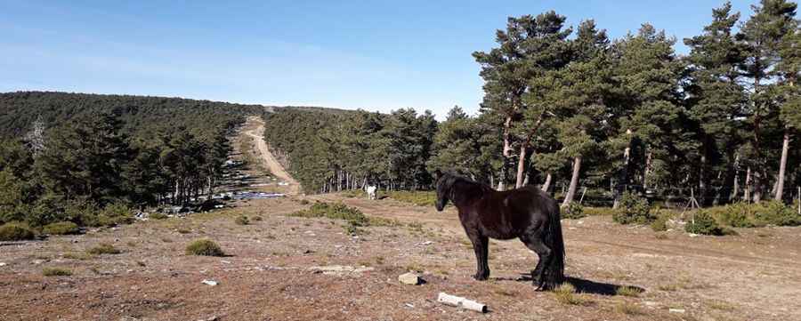
Is the road to Puerto de Arcones unpaved?
The road to the summit is totally unpaved and well maintained. A high-clearance vehicle is required, though a 4x4 vehicle is recommended, especially after rains. Be aware that the wide stretches of the track are often used by support vehicles for paragliders, so visibility should be maintained at all times
How long and steep is the road to Puerto de Arcones?
The road is 6.9 km (4.28 miles) long, starting from Arcones (in the province of Segovia). Over this distance, the elevation gain is 589 m and the average gradient is 8.53%.
Pic: El opinante diletante