How to drive the unpaved road to Lo Covil in Lleida?
Lo Covil is a high mountain pass at an elevation of 2.402m (7,880ft) above sea level, located in the province of Lleida, in Spain. It’s one of the highest roads in the country.
Where is Lo Covil?
The pass is located in the comarca of the Pallars Sobirà in the autonomous community of Catalonia, in the northeastern part of the country.
Is the road to Lo Covil unpaved?
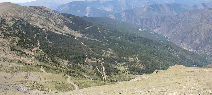
The road to the summit is totally unpaved, narrow, with very steep parts and 10 sharp hairpin turns. It’s called Pista de la Jornada. A 4x4 vehicle is required.
How long is the road to Lo Covil?
Starting from Alins, the road to the summit is 11 km long. Over this distance, the elevation gain is 910 m and the average gradient is 8.27%.
Is the road to Lo Covil open in winters?
Set high in the Alt Pirineu Natural Park, the road is open year-round, but winter closures are common due to the heavy snowfalls in the area.
Pic: Pepucho Gomez