Take the Scenic Route and Discover Alto de la Tornería
Alto de la Tornería is a mountain pass at an elevation of 469m (1,538ft) above sea level, located in the province and autonomous community of Asturias, in Spain. With dangerous curves, this route offers some amazing scenery in un-spoilt countryside and is well worth doing.
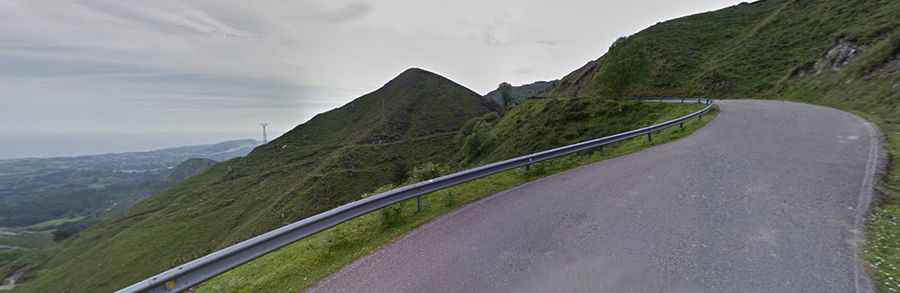
Where is Alto de la Tornería?
The pass is located in the concejo of Llanes in the northern part of the country. The views at the summit are stunning. It offers some amazing coastal views. As you climb the views get more and more impressive but with grades starting to average over 10% and sections of 15%, it’s difficult to concentrate too much on the views.
Is the road to Alto de la Tornería paved?
The road to the summit is fully paved but pretty narrow and steep. It’s called LLN-7. There is very little traffic on this climb. It features many hairpin turns, especially near the summit. It is not a particularly tough climb but does have several stretches that are quite steep with parts up to 15%.
How long is the road through Alto de la Tornería?
The road through the pass is 16km long, running west-east from the paved AS-115, near Meré to Parres.
How steep is the road through Alto de la Tornería?
The climb has been featured on Vuelta a España race. Starting from Parres, the ascent is 6.2 km long. Over this distance the elevation gain is 409 meters. The average gradient is 6.59%. And starting from AS-115 road, the ascent is 9.1 km long. Over this distance the elevation gain is 387 meters. The average gradient is 4.25%.
Is the road to Alto de la Tornería in winters?
It is open throughout the year, although there can be short-term closures in winter due to snow.