How to drive the unpaved road to Miranda de Llaberia in Tarragona?
Miranda de Llaberia is a mountain peak at an elevation of 918m (3,013ft) above the sea level, located in the province of Tarragona, in Spain.
Where is Miranda de Llaberia?
The peak is located on the boundary between Baix Camp and Ribera d'Ebre comarcas, in the autonomous community of Catalonia, in the northeastern part of the country.
Why is there a road to Miranda de Llaberia?
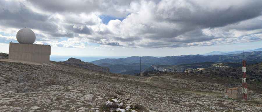
Set high in the Serra de Llaberia mountain range, part of the Serralada Prelitoral (Pre-Coastal Mountain Range), at the summit there’s a meteorological radar outstanding in the edge of the range.
Is the road to Miranda de Llaberia unpaved?
The road to the summit is totally unpaved and challenging, with loose rocks and gravel. It’s called Senda de la Miranda. It’s very narrow and features many steep sections. A 4x4 vehicle is required. This is a long route with a steep climb, primarily through woodland.
How long is the road to Miranda de Llaberia?
The road to the summit is very steep. Starting at the paved TV-3111 road, near Llaberia, at 692 meters above sea level, the ascent is 3.1 km long. Over this distance the elevation gain is 226 meters. The average gradient is 7.29%.
Pic: Juanjo García González