How to drive the unpaved road to Sant Mamet in the Montsec Range
Sant Mamet is a mountain peak at an elevation of 1,391 meters (4,564 ft) above sea level, located in the Lleida province, in Spain.
| Road facts: Sant Mamet | |
|---|---|
| Location | Noguera, Lleida, Catalonia (Spain) |
| Elevation | 1,391 m (4,564 ft) |
| Length | 7.7 km (4.78 miles) |
| Elevation Gain | 774 meters |
| Average Gradient | 10.05% |
| Surface | Unpaved (Dirt and loose limestone rock) |
Where is Sant Mamet?
The peak is located in the Noguera comarca, in the autonomous community of Catalonia, in the northeastern part of the country. At the summit there’s a small hermitage called Sant Mamet and a stone mountain refuge.
Is the road to Sant Mamet unpaved?
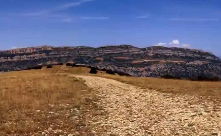
The summit is accessed via a steep, unpaved mountain track. It is a single unpaved lane used primarily by local ranchers and forest fire surveillance crews. It features a rough surface of loose limestone stones, coarse gravel, and bare dirt ruts.
Do I need a 4x4 to drive the road to Sant Mamet?
Due to the loose surface and steep sections, a high-clearance 4x4 vehicle is required to prevent tire slippage and avoid scraping the vehicle underbody.
How long is the road to Sant Mamet?
Starting from the village of Santa Maria de Meià, the road to the summit is 7.7 km long. Over this distance, the elevation gain is 774 m and the average gradient is 10.05%, with several ramps climbing significantly steeper.
Is the road to Sant Mamet open in winters?
Set high in the Montsec Range of the Pre-Pyrenees, the track is open year-round though subject to frequent rockfalls from the flanking cliffs after heavy rains, and occasional winter snowfalls.
Pic&video: Serra del Montsec