Can I drive the steep road to Creu del Montau in Garraf?
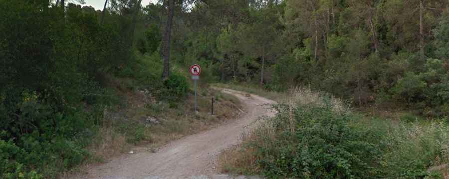
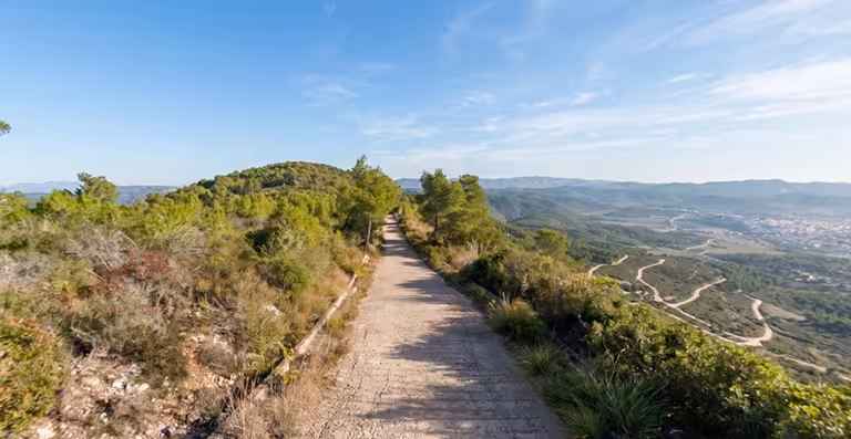
El Montau (also known for the landmark Creu del Montau) is a mountain peak at an elevation of 654 meters (2,145 ft) above sea level in Barcelona province, Spain. Situated on the border between Alt Penedès and Baix Llobregat, the summit is reached via a narrow, unpaved mountain track starting from Begues Parc.
| Road facts: El Montau | |
|---|---|
| Location | Begues, Baix Llobregat / Alt Penedès, Barcelona (Spain) |
| Elevation | 654 m (2,145 ft) |
| Length | 5.3 km (3.29 miles) from Begues Parc |
| Elevation Gain | 276 m (905 ft) |
| Average Gradient | 5.20% |
| Max Gradient | 12% |
| Surface | Unpaved dirt and gravel track |
| Access Restriction | Closed to private motor vehicles |
Where is El Montau located?
The peak sits on the boundary line between the Alt Penedès and Baix Llobregat comarques in Catalonia, northeastern Spain. Rising within the Garraf Massif (Catalan Coastal Range), the summit offers panoramic views across the surrounding mountain valleys and coastal plains.
Why is there a road to El Montau?
The mountain track was built to service the communications antenna and forest fire lookout tower constructed at the summit.
Discover more extreme climbs in the Garraf Massif in our guide: The 6 Most Amazing Roads in Garraf Massif.
Is the road to El Montau unpaved?
Yes. The entire track to the summit is completely unpaved, consisting of dirt and gravel with several sharp bends and narrow sectors. While a 4x4 vehicle with high ground clearance is recommended for the terrain, the road is legally closed to unauthorized private motor vehicles.
How steep is the road to El Montau?
The track features several steep sections, reaching maximum gradients of up to 12% on its hardest ramps.
How long is the road to El Montau?
Starting from the residential area of Begues Parc, the track to the summit spans 5.3 kilometers (3.29 miles). Over this distance, the road climbs 276 vertical meters with an average gradient of 5.20%.