Can I drive the unpaved road to Puig de la Mola in Garraf?
Puig de la Mola is a mountain peak at an elevation of 534 meters (1,751 ft) above sea level in Barcelona province, in Spain. Standing as the highest point in the Garraf comarca within the Garraf Massif, the summit is reached via a narrow, unpaved track starting from Olesa de Bonesvalls.
| Road facts: Puig de la Mola | |
|---|---|
| Location | Olesa de Bonesvalls, Barcelona, Catalonia (Spain) |
| Elevation | 534 m (1,751 ft) |
| Length | 4.6 km (2.85 miles) from BV-2411 |
| Elevation Gain | 251 m (823 ft) |
| Average Gradient | 5.45% |
| Max Gradient | 11% |
| Surface | Unpaved earth and gravel track |
| Access Restriction | Closed to private motor vehicles (Chained barrier) |
Where is Puig de la Mola located?
The peak sits on the tri-border boundary of the Garraf, Baix Llobregat, and Alt Penedès comarques in Catalonia. Rising within the Parc Natural del Garraf, it is the highest summit in the Garraf massif.
Why is there a road to Puig de la Mola?
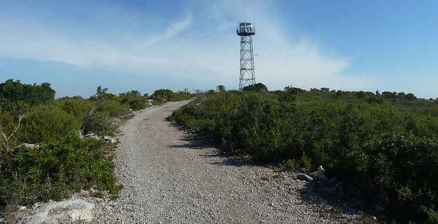
The service track was built to access the forest fire lookout tower and geodesic vertex located at the top. The summit provides open views over the Barcelona coastline, the Llobregat delta, and the Montserrat massif.
Is the road to Puig de la Mola unpaved?
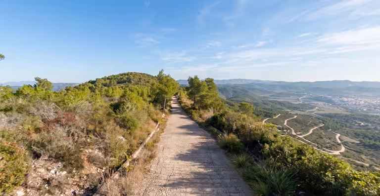
Yes. The entire track, known locally as Camí al Puig de la Mola, is narrow and completely unpaved, featuring gravel and dirt surfaces with steep ramps up to an 11% maximum gradient. Driving requires a 4x4 vehicle with high ground clearance; however, private motor vehicle access is restricted by a physical chain barrier managed by park authorities.
How long is the road to Puig de la Mola?
Starting from the paved BV-2411 road near Olesa de Bonesvalls, the track to the summit spans 4.6 kilometers (2.85 miles). Over this distance, the road climbs 251 vertical meters with an average gradient of 5.45%.
Pic: By Moogido - Own work, CC BY-SA 3.0, https://commons.wikimedia.org/w/index.php?curid=28983317
Discover more extreme climbs in the Garraf Massif in our guide: The 6 Most Amazing Roads in Garraf Massif.