How to drive the unpaved road Puntal de la Canilla in Granada
Puntal de la Canilla is a high mountain peak at an elevation of 2.335m (7,660ft) above sea level, located in the province of Granada, in Spain.
Where is Puntal de la Canilla?
The peak is located in the autonomous community of Andalusia, in the southern part of the country, within the Sierra Nevada National Park.
Is the road to Puntal de la Canilla unpaved?
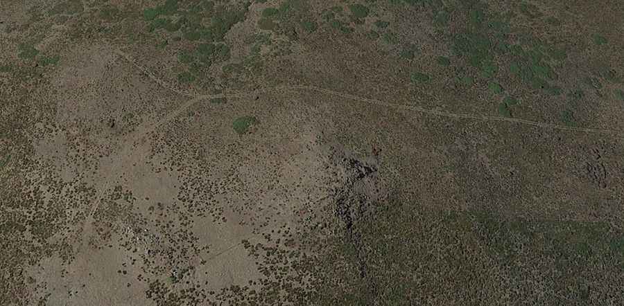
The road to the summit is totally unpaved, with very steep parts and narrow sections. A 4x4 vehicle is required. Along the way you can see the entire Sierra Nevada massif in the province of Granada and the Marquesado del Zenete region.
How long is the road to Puntal de la Canilla?
Starting from Lugros, the road to the summit is 18.9 km long. Over this distance, the elevation gain is 1130 m and the average gradient is 5.97%.
Is the road to Puntal de la Canilla open year-round?
Set high in the Sierra Nevada mountain range, the road is open year-round, but winter closures are common due to the snowfalls in the area.