Driving the abandoned curves of Puerto de Contreras: The ghost of the N-III
The Puerto de Contreras, also known as the Cuestas de Contreras, is a ghost of Spanish engineering. Located on the border between the Valencian Community and Castile-La Mancha, this 17-kilometer stretch was once the main artery between Madrid and Valencia. Today, following the opening of the A-3 highway, it has reverted to a narrow, technical, and partially restricted route that remains a brutal test for those looking to understand how traffic used to flow across the Cabriel river gorge.
| Road facts: Puerto de Contreras | |
|---|---|
| Location | Valencia / Cuenca border, Spain (Old N-III) |
| Max Elevation | 724m (2,375ft) |
| Length | 17 km (10.5 miles) |
| Max Gradient | 8% |
Why is the Puerto de Contreras a masterpiece of 19th-century engineering?
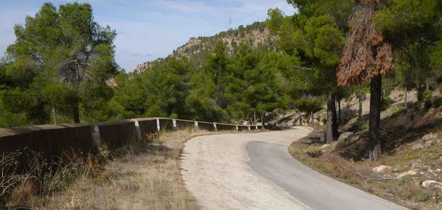
Built in 1853 by the engineer Lucio del Valle, the road through Puerto de Contreras was designed to overcome the massive natural barrier of the Cabriel river. Before the modern viaducts existed, trucks and cars had to descend into the basin and climb back out using a series of endless zig-zags. The engineering here is raw: stone retaining walls and tight curves that follow the natural topography. Driving this section today allows you to feel the mechanical stress that thousands of engines endured for over a century. The road is asphalted but narrow, and the lack of maintenance in certain spots means you are constantly dodging loose debris and cracks caused by the thermal expansion of the central Spanish plateau.
How technical are the "Cuestas de Contreras"?
The 17km transit is a non-stop sequence of "up, down, right, and left." With an average gradient of 4.71%, the road hits 8% in several technical ramps that force you to work the gearbox constantly. The turns are tight and often blind, hemmed in by the rock face on one side and the drop towards the Contreras reservoir on the other. Very few vehicles use this route today, which has allowed the asphalt to age significantly. The absence of heavy traffic means that vegetation is beginning to encroach on the shoulders, narrowing the driving line even further and requiring absolute precision in every turn.
Is the road to Puerto de Contreras restricted or closed?
A significant factor for any driver planning this trip is the restriction of access in certain sectors. Local reports suggest that parts of the old N-III near the reservoir and the abandoned cement plant are now subject to limited access, officially open only for local workers, emergency services, or authorized personnel. This adds an element of isolation to the drive; if you enter the restricted zones without authorization, you are navigating a road that has been effectively removed from the national maintenance plan. The old cement plant at the bottom of the gorge stands as a decaying monument to the industrial activity that once defined this "Crossroads of Spain."
What are the hazards of the Cabriel river crossing?
The main danger of Puerto de Contreras isn't just the 8% gradient, but the psychological toll of the silence. On a road designed for thousands of vehicles that now sees almost none, a mechanical failure or a flat tire can leave you stranded in a deep gorge with very limited options for recovery. The road's proximity to the Cabriel river and the reservoir means that moisture often lingers in the shadows, creating slick spots on the asphalt even when the surrounding plains are bone dry. Navigating the Cuestas de Contreras is a journey back in time, where the technical demands of 1850s engineering still dictate the pace of your 21st-century vehicle.
Road suggested by: Markus Janssen