How to drive the curvy road to Port de la Creu de Perves in Lleida?
Port de la Creu de Perves is a mountain pass at an elevation of 1.335m (4,379ft) above sea level, located in the province of Lleida, in Spain.
Where is Port de la Creu de Perves?
The pass, named after a nearby town, is located in the Pallars Jussà comarca, in the autonomous community of Catalonia, in the northeastern part of the country.
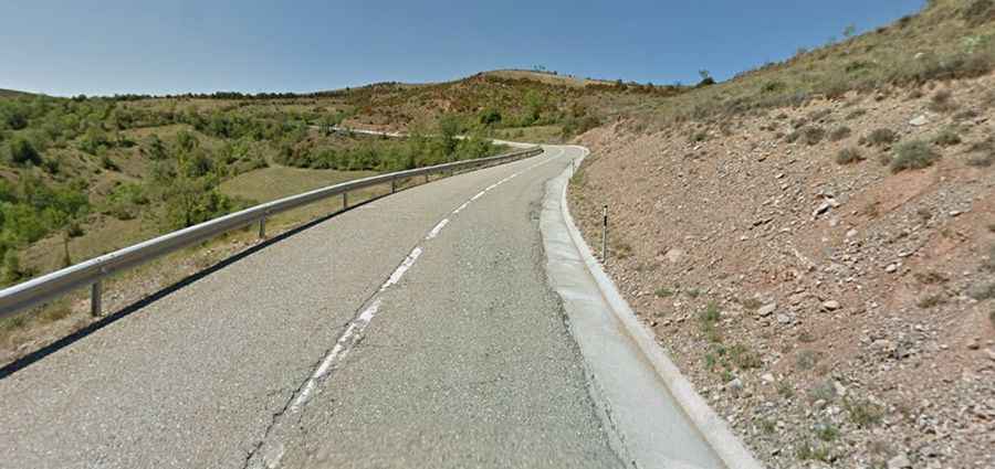
Is Port de la Creu de Perves paved?
The road through the pass is called Eix Pirinenc/N-260. It is fully paved though not easy, with countless curves, 13 hairpin turns on its eastern side and some parts up to 9.4% of maximum gradient. This route is not recommended if your passengers are prone to car sickness.
How long is Port de la Creu de Perves?
The road through the pass is 11.0 km long, running west-east from Viu de Llevata to Sarroca de Bellera. The pass has been climbed by the Volta a Catalunya and Vuelta a España bicycle races.