How to drive the challenging access road to Pico del Teide?
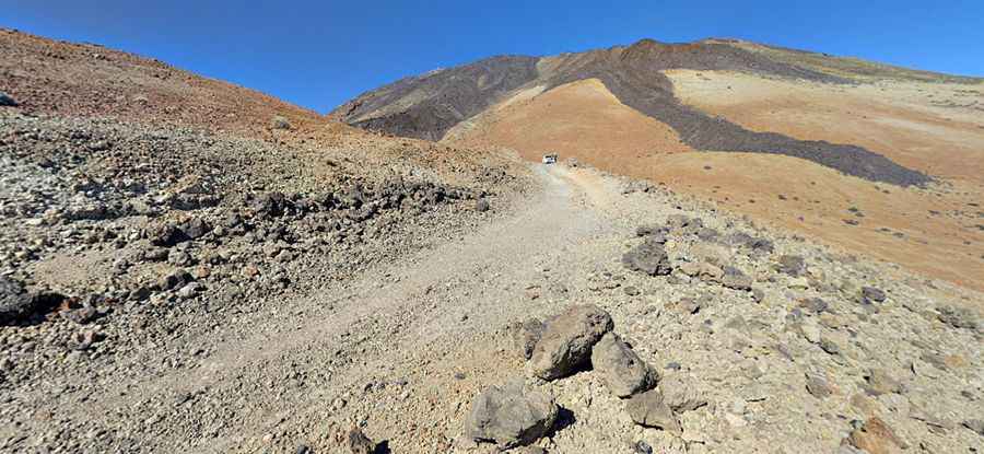
Located on the island of Tenerife, in Spain’s Canary Islands, Pico del Teide is Spain's highest peak, an iconic volcano. It’s said to be the third-tallest volcano in the world measured from its base on the ocean floor. A minor unpaved road, on its eastern side, tops out at 2,743m (8,999ft) above sea level.
Where is Pico del Teide?
The road is located in the central part of the island, within Teide National Park, a UNESCO World Heritage site renowned for its stunning lunar-like landscapes, unique geological formations, and diverse plant life adapted to the high-altitude environment.
Is the access road to Pico del Teide unpaved?
The road, known as Sendero Montaña Blanca, is used to provide closer access to the summit. A 4x4 vehicle is required. It’s totally closed to private vehicles. It’s one of the highest roads in Spain.
How long is the access road to Pico del Teide?
Starting at the paved TF-21 road, at 2,351m (7,713ft) above sea level, the ascent is 4.6 km (2.85 miles) long. Over this distance, the elevation gain is 374 meters. The average gradient is 8.13%. The road ends near a mountain refuge called Refugio Altavista.
Pic: Pavel Švadlena