How to drive the 4x4 service road to Punta Malacara in Astún?
Punta Malacara is a mountain peak at an elevation of 2,137 meters (7,011 ft) above sea level in the Pyrenees, located in the Province of Huesca, Aragon, Spain. Traversed by an unpaved service track within the Astún ski resort, the route climbs from the resort base to the chairlift station near the ridge.
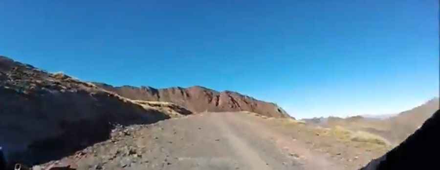
| Road facts: Punta Malacara | |
|---|---|
| Location | Astún, Jaca, Huesca, Aragon (Spain) |
| Elevation | 2,137 m (7,011 ft) |
| Length | 4.8 km (2.98 miles) from Astún base |
| Elevation Gain | 381 m (1,250 ft) |
| Average Gradient | 7.93% |
| Surface | Unpaved (Loose gravel, dirt, and slate) |
| Vehicle Required | High-clearance 4x4 |
Where is the road to Punta Malacara located?
The track begins at the lower parking area of the Astún ski resort. The 4.8-kilometer route gains 381 vertical meters along ski slopes and open ridges, ending near the top chairlift station at 2,137 meters elevation.
What are the driving conditions on the Punta Malacara track?
The 4.8-kilometer trail is entirely unpaved, consisting of loose gravel, coarse dirt, and sharp slate stones. High ground clearance and four-wheel drive are required to clear rocky steps and maintain traction on steep incline ramps averaging 7.93%.
What hazards exist on the track to Punta Malacara?
The narrow mountain trail lacks crash barriers along steep, open ski slope drops. Sharp granite and slate stones along the path pose a high risk of tire sidewall punctures. On the descent back to Astún, low gear must be engaged to engine brake and prevent tires from skidding on loose gravel.
Is the road to Punta Malacara open in winter?
No. At an elevation of 2,137 meters, heavy snow buries the track throughout the ski season, leaving it impassable to motor vehicles from November through late June.
Pic: Quique Glez-Estéfani