How to drive the unpaved road to Collado Zamora in Jaen?
Collado Zamora is a mountain pass at an elevation of 1.446m (4,744ft) above sea level, located in the province of Jaén, in Spain.
Where is Collado Zamora?
The pass is located in the eastern part of the autonomous community of Andalusia, in the southern part of the country. At the summit there's a mountain refuge.
Is the road to Collado Zamora paved?
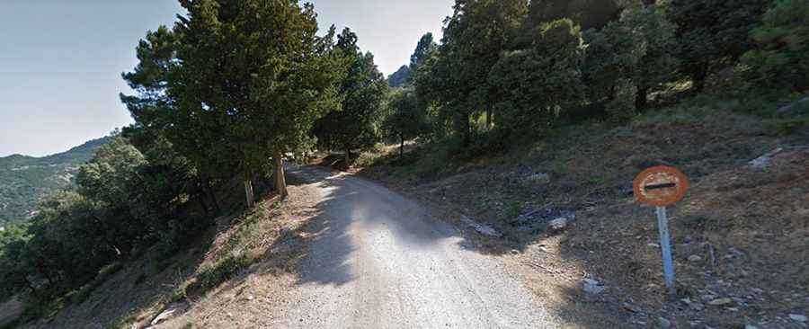
The road to the summit is mostly unpaved (only paved at the beginning), with narrow parts and steep sections. It's called JV-7107. A high clearance vehicle or 4x4 is required. It features 11 sharp hairpin turns.
How long is the road to Collado Zamora?
Starting from the paved A-322 Road, the road to the summit is 16.9 km long. Over this distance, the elevation gain is 787m and the average gradient is 4.65%.
Is the road to Collado Zamora open in winters?
Set high in the Sierra de Segura mountain range, the road is open year-round.
How to drive to Puerto Lorente?
East of the pass, 2.2 km far, the road climbs up to Puerto Lorente, a high mountain pass at an elevation of 1.580m (5,183ft) above sea level, on the way to the source of the Guadalquivir River.