Is the unpaved road to Pico de Cabañas suitable for all vehicles?
Pico de Cabañas is a high mountain peak at an elevation of 2,028m (6,653ft) above sea level, located in the province of Jaén, Andalusia. Situated within the Sierras de Cazorla, Segura y Las Villas Natural Park, the summit is one of the highest points you can reach by car in southern Spain. The access is a long, unpaved forest track built for the fire lookout tower that sits at the very top.
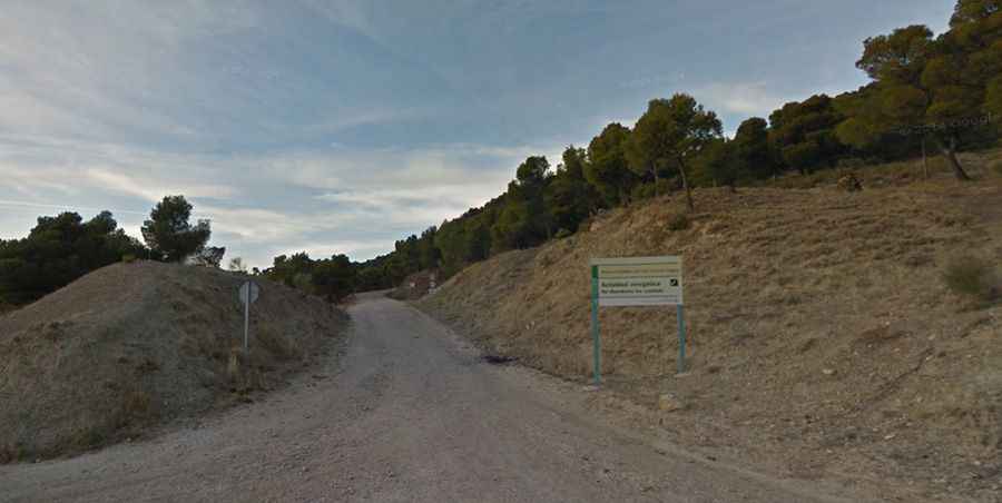
| Road facts: Pico de Cabañas | |
|---|---|
| Location | Sierra de Cazorla (Jaén), Spain |
| Elevation | 2,028 m (6,653 ft) |
| Length | 24.4 km from Don Pedro |
| Surface | Unpaved / Loose limestone gravel |
Where does the road to Pico de Cabañas start?
The climb begins near the area known as Don Pedro. From here, you face a 24.4 km journey that gains 1,187 meters of elevation. The track winds through a barren karst landscape where the white limestone rock is everywhere. This is a dead-end road; once you reach the fire lookout station at 2,028 meters, you have to turn around and head back down the same way. The track is remote, with no water points or mobile signal in most of the canyons.
Is a 4x4 required to reach Pico de Cabañas?
Yes, a high-clearance 4x4 is the only safe way to reach the summit. While the average gradient is around 4.86%, the reality of the ground is much tougher. The track is full of deep ruts (xaragalls) caused by heavy winter rains and the melting snow. In many sections, the loose gravel makes tires spin, especially on the steeper ramps. Sharp limestone rocks can easily cut the sidewalls of standard car tires, and the low underbody of a passenger vehicle will definitely hit the stones in the center of the track.
What are the hazards of the fire lookout track?
The road is narrow and has no safety barriers, even where the drops into the valley are hundreds of meters deep. During the summer, access is often restricted to authorized personnel only to prevent forest fires; you must check with the park authorities before driving up. You will likely encounter mountain goats and deer on the road, which can jump out from behind the rocks. The dust is another factor; it gets into everything and can reduce visibility if you are following another vehicle too closely.
How does the weather affect the drive to the peak?
The road is usually blocked by snow and thick ice from December to March. At 2,000 meters, the wind is extremely strong and cold. Even in the spring, the limestone surface becomes incredibly slippery when wet, acting like soap under the tires. On the way back down, you must rely on engine braking. Using the brake pedal for 24 kilometers on loose gravel will overheat your brakes and leave you without stopping power before you reach the bottom of the mountain.
Why is the final section to the summit so difficult?
The last few kilometers before the fire lookout are the roughest. The track follows the ridge of the mountain, fully exposed to the elements. The wind has blown away the finer gravel, leaving only large, sharp rocks and hard bedrock. This part requires picking your lines carefully to avoid getting high-centered. It is a slow, high-vibration drive where the mechanical health of your suspension is tested to the limit before you reach the highest point of the Sierra de Cazorla.