Is the unpaved road to Pico de Cabañas suitable for all vehicles?
Pico de Cabañas is a high mountain peak at an elevation of 2,028m (6,653ft) above sea level, located in the province of Jaén, Andalusia. Situated within the Sierras de Cazorla, Segura y Las Villas Natural Park, the summit is one of the highest driveable points in the region. Logistically, the access is via a long, unpaved forest track that serves the fire lookout tower at the peak, requiring specific vehicle clearance and traction management.
| Road facts: Pico de Cabañas | |
|---|---|
| Location | Sierra de Cazorla (Jaén), Spain |
| Elevation | 2,028 m (6,653 ft) |
| Length | 24.4 km (from Don Pedro) |
| Average Gradient | 4.86% |
What is the technical difficulty of the road to Pico de Cabañas?
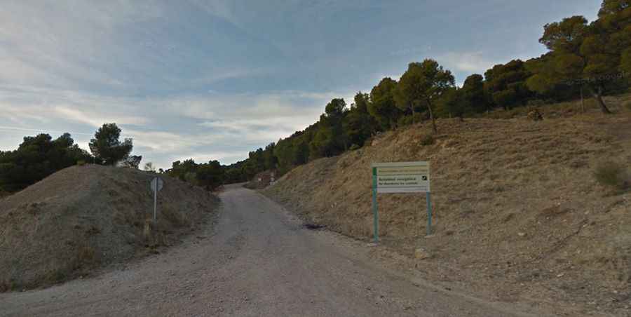
Starting from the Don Pedro area, the ascent to Pico de Cabañas covers 24.4 km with a total elevation gain of 1,187 meters. Technically, the average gradient is 4.86%, but this figure is deceptive due to several flat transit sectors followed by steep ramps on loose limestone gravel. Logistically, while some sections are manageable, a high-clearance 4x4 vehicle is strongly recommended. The track's surface is subject to erosion from torrential rains, creating deep ruts that can damage the underbody of standard passenger cars. Precise tire placement is essential to avoid sharp rock edges common in this karst landscape.
What are the logistical risks of the fire lookout track?
Technically, the road is a service track for the fire lookout tower (Puesto de Vigilancia) located at the summit. Logistically, this means the road is maintained for professional use but remains narrow and lacks safety barriers along the cliff edges. During the summer, fire prevention protocols may restrict access to authorized vehicles only; it is mandatory to verify local Natural Park regulations before attempting the climb. The route offers wide logistical views of the Guadalquivir valley and the Sierra Mágina, which are used by watchmen for early smoke detection, but the driver must remain focused on the track's technical turns and potential encounters with local wildlife (mountain goats and deer).
How does weather affect the drive to Pico de Cabañas?
At over 2,000m, Pico de Cabañas experiences extreme thermal shifts. Logistically, the road is often blocked by snow and ice from December to March, making it impassable for standard vehicles. Technically, the limestone substrate becomes extremely slippery when wet, reducing traction significantly even for 4WD systems. Safety protocols for the 24.4 km journey include carrying a full-size spare tire and extra water, as there are no logistical support points or mobile coverage in the deep canyons surrounding the peak. The final descent requires heavy use of engine braking to manage the vehicle's speed on the loose gravel ramps.