How to drive the unpaved road to Hoyo Cerrado in the Sierra de Guadarrama
Hoyo Cerrado is a high mountain pass at an elevation of 2,144m (7,034ft) above sea level, located in the heart of Spain.
Where is Hoyo Cerrado?
The pass is located between Puerto de Malagosto and Pico del Nevero, on the boundary between the provinces of Madrid and Segovia, in the central part of the country.
| Fact | Details |
|---|---|
| Elevation | 2,144m (7,034ft) |
| Distance | 13.3 km from Collado Hermoso |
| Average Gradient | 7.0% |
| Road Name | Camino de la Fuente del Mojón |
| Surface | Unpaved / Loose Rocks |
| Location | Madrid / Segovia Border, Spain |
Is the road to Hoyo Cerrado unpaved?
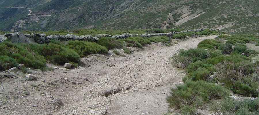
The road to the summit is called Camino de la Fuente del Mojón. The road is entirely unpaved and is considered a difficult drive even for experienced off-roaders.
How challenging is the road to Hoyo Cerrado?
The surface is characterized by loose Rocks and Scree (traction can be a major issue, especially on the steeper sections), and narrow parts (in several parts, the track narrows significantly with steep drop-offs). Much of this route lies within or near the Guadarrama National Park. Drivers must stay strictly on the designated track, as off-roading is heavily penalized to protect the fragile high-mountain ecosystem. High-clearance 4x4 vehicle is required.
How long and steep is the ascent to Hoyo Cerrado?
Starting from the village of Collado Hermoso in the province of Segovia, the road to the summit is 13.3 km (8.26 miles) long. Over this distance, the elevation gain is 932 m and the average gradient is 7.0%.
Is the road to Hoyo Cerrado open year-round?
Set high in the Sierra de Guadarrama (part of the Central System), the road is usually impassable in winter due to heavy snow and ice. The best window for travel is from late spring to early autumn.
Pic: Siro Otero Garcia