A Roman path to Puerto de la Fuenfría
Puerto de la Fuenfría is a high mountain pass at an elevation of 1,796m (5,892ft) above sea level, located on the boundary between the Autonomous Community of Madrid and the Castile and León region, in Spain.
Where is Puerto de la Fuenfría?
The pass is located in the Sierra de Guadarrama (mountain range of the Central System), in the central part of the country. At the pass, there is a sculpture dedicated to José Antonio Cimadevilla Covelo. "Founder of the Association of Friends of the Caminos de Santiago de Madrid, he revitalized the pilgrimage route from Madrid to Santiago de Compostela, which was a Roman road over this Puerto de la Fuenfría."
Is Puerto de la Fuenfría a Roman road?
The road through the pass is a Roman path (Republic Road), which was heavily used until 1788, when the Navacerrada Pass was opened. The old Roman road connected the southern Meseta de Castilla la Mancha (Castilla la Mancha plateau) with the northern Meseta de Castilla y León (Castilla and León plateau) in ancient times.
How long is Puerto de la Fuenfría?
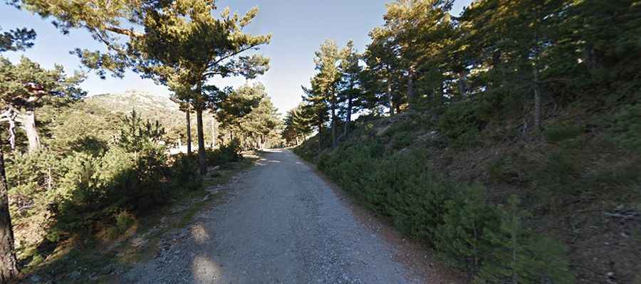
The road to the summit is totally unpaved and closed to private motor vehicles. The road is pretty steep, with an average gradient of 10%. It’s about 25km (15.53 miles) long, running north-south from Revenga to La Fuenfría.