How to drive the unpaved road to Coll de la Creu d'Eixol in Lleida
Coll de la Creu d'Eixol is a high mountain pass at an elevation of 2.233m (7,326ft) above sea level located in the province of Lleida, in Spain.
Where is Coll de la Creu d'Eixol?
The pass, also known as Coll d'Espot, is located in the Pallars Sobirà comarca, in the autonomous community of Catalonia, in the northern part of the country, within the Aigüestortes i Estany de Sant Maurici National Park. Near the summit there’s a mountain hut known as Refugi forestal Quatre Pins.
Is the road to Coll de la Creu d'Eixol unpaved?
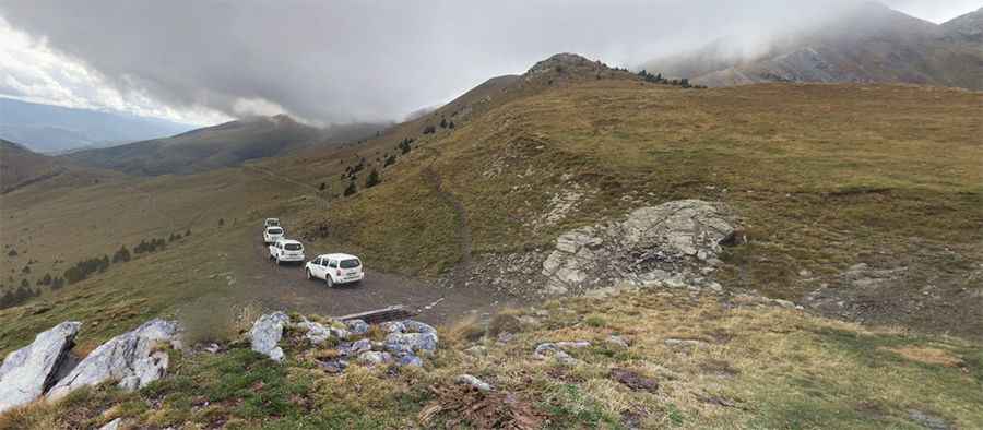
The road to the summit is totally unpaved and defiant. It’s very steep and eroded by runoff, with many loose rocks on the slope, severe drops and 8 hairpin turns. A 4x4 vehicle is required.
How long is the road to Coll de la Creu d'Eixol?
Starting from Escart, the road to the summit is 13.6 km long. Over this distance, the elevation gain is 1,044m and the average gradient is 7.67%.
Is the road to Coll de la Creu d'Eixol open year-round?
Set high in the Pyrenees mountain range, the area receives heavy snowfalls in winters and the road is usually impassable from November to April. In winter it’s necessary to carry precautions to an extreme.
Pic: Kokopeli Expericence