How to drive the unpaved road to Coll de Baretja?
Coll de Baretja, also known as Còth de Baretja, is an international high mountain pass at an elevation of 1,753m (5,751ft) above sea level, situated on the border between Spain and France. Located in the Aran Valley (Lleida), the pass is reached via a technical unpaved road that starts from the paved Col du Portillon. The 6.5 km route is characterized by its steep gradients and high-altitude exposure, requiring 4x4 vehicles to manage the loose surface and the 12 sharp hairpin turns leading to the summit.
| Road facts: Coll de Baretja | |
|---|---|
| Location | Spain (Val d'Aran) - France Border |
| Elevation | 1,753 m (5,751 ft) |
| Length | 6.5 km (4.0 miles) |
| Elevation Gain | 467 m |
| Average Gradient | 7.18% |
What are the driving logistics of the 12 hairpins to Coll de Baretja?
The 6.5 km ascent to Coll de Baretja starts from the summit of Col du Portillon. Logistically, the transition from asphalt to the unpaved track marks a significant change in driving protocol. The route features 12 hairpin turns where the surface consists of loose gravel and forest soil. Technically, maintaining a constant torque flow is essential to navigate the 7.18% average gradient. A 4x4 vehicle is mandatory, as the steepness of the switchbacks often causes traction loss in 2WD vehicles, especially in the inner radius of the curves where the incline is most acute.
How to manage the unpaved surface and traction on the Baretja track?
The road to Còth de Baretja is a mountain track that is not engineered for standard traffic. Technically, the 467-meter elevation gain over 6.5 km puts localized stress on the vehicle's transmission and tires. Logistically, it is recommended to use All-Terrain tires to prevent punctures from sharp slate rocks common in the Aran Valley. During the climb, drivers must account for the narrowness of the track; passing points are infrequent, requiring disciplined scanning of the road ahead to coordinate maneuvers with oncoming traffic. The surface can become extremely slippery after rain, significantly increasing the technical difficulty of the 12 switchbacks.
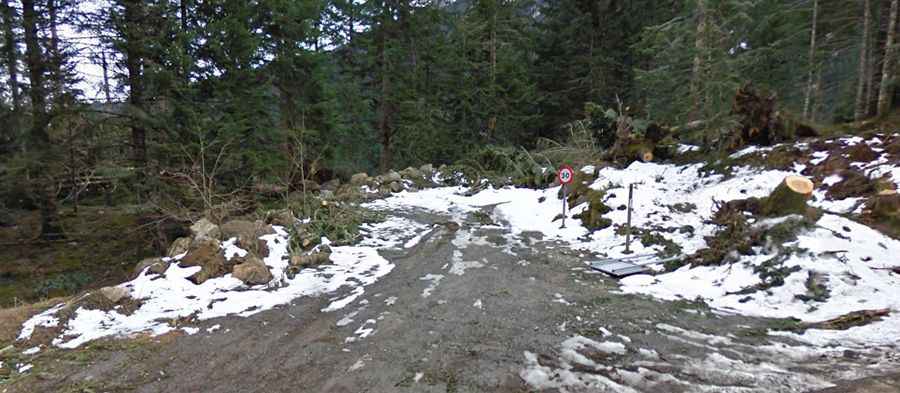
What are the seasonal closures and weather hazards for Coll de Baretja?
At an elevation of 1,753m, Coll de Baretja is subject to heavy Pyrenean snowfall. Logistically, the road is typically impassable from October to June. There are no snow-clearing operations for this unpaved track, and the 6.5 km route remains buried under snowpack during the winter months. Even in the summer, sudden storms can cause rapid surface runoff, creating deep ruts that compromise vehicle ground clearance. Technical preparation must include checking weather windows, as the summit offers no logistical shelter and is highly exposed to the winds coming from the Maladeta massif.
How to handle the descent from Coll de Baretja to Col du Portillon?
Descending from the 1,753m summit requires a technical braking protocol to manage the 7.18% average gradient safely. On an unpaved surface, the use of engine braking in low gears is mandatory to avoid overheating the service brakes. Technically, the 12 hairpin turns require smooth steering inputs to prevent the vehicle from sliding on the loose gravel. Logistically, the proximity to the border and the high volume of hikers in the area means drivers must maintain a reduced speed, ensuring that the braking system is always ready for immediate stopping maneuvers on the narrow shelf sections of the road.