Driving the road to Alto del Naranco: The 634m balcony over Oviedo
Alto del Naranco is a mountain pass at an elevation of 634 meters (2,080 ft) above sea level, located just north of Oviedo, in the Asturias region of northern Spain. Traversed by the fully paved AS-232 road, the route scales the southern slope of the mountain massif to reach the summit monument area.
| Road facts: Alto del Naranco | |
|---|---|
| Location | Oviedo, Asturias (Spain) |
| Elevation | 634 m (2,080 ft) |
| Road Number | AS-232 / Avda. de los Monumentos |
| Length | 6.6 km (4.1 miles) |
| Average Gradient | 6.1% |
| Max Gradient | 8.9% |
Where does the AS-232 road to Alto del Naranco start?
The asphalt climb begins at the northern edge of the Oviedo, transitioning into the Avenida de los Monumentos before becoming the AS-232. The road heads directly up the mountain slope over a distance of 6.6 kilometers. The lower section passes adjacent to the 9th-century Pre-Romanesque churches of Santa María del Naranco and San Miguel de Lillo, where the lane narrows significantly due to regular tourist bus traffic and stone perimeter walls.
Is the road to Alto del Naranco difficult to drive?
The 6.6 km route is paved and generally well-maintained, but it lacks wide shoulders and maintains a steady 6.1% average gradient. The final sectors leading toward the Sacred Heart monument at the top turn narrower, with tight passing space when encountering local oncoming traffic. Due to frequent Asturian mist and rain, the asphalt surface becomes slick, decreasing tire traction on the mountain turns.
What is the steepest section of the Alto del Naranco road?
The steepest segments of the ascent hit an 8.9% maximum gradient, concentrated along a series of short ramps and consecutive hairpin loops. On the downhill return toward Oviedo, the continuous 8.9% pitch requires dropping into low gears to rely on engine braking before reaching the final urban traffic intersections at the base of the mountain.
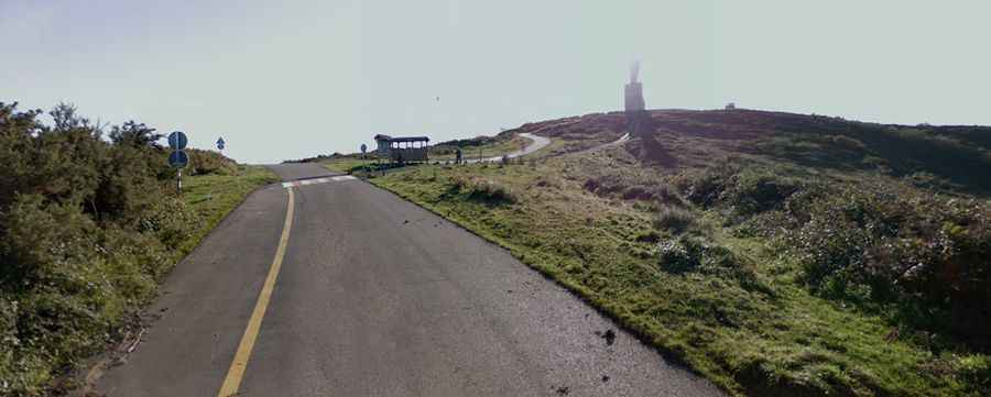
Why is the Alto del Naranco climb famous?
The road is an established stage finish in the Vuelta a España bicycle race, utilized dozens of times since 1974. This sporting history means the asphalt features painted signs on the road surface and sees heavy daily usage by local road cyclists and pedestrians, requiring drivers to stay alert on the blind corners near the summit parking loops.