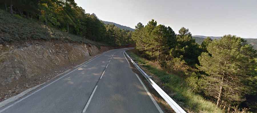
Driving the TE-V-6006 road to Collado El Gavilán in Teruel
The Collado El Gavilán is a high mountain pass at an elevation of 1,517 meters (4,977 ft) above sea level, located in the Sierra de Javalambre within the Teruel province of Aragon, Spain. The paved TE-V-6006 road runs over the pass, linking the municipalities of Camarena de la Sierra and La Puebla de Valverde.
| Road facts: Collado El Gavilán (TE-V-6006) | |
|---|---|
| Location | Teruel, Aragon, Spain |
| Elevation | 1,517 m (4,977 ft) |
| Road Number | TE-V-6006 |
| Length | 16.6 km (10.3 miles) |
| Max Gradient | 10.7% |
| Surface | Paved (Asphalt) |
How challenging is the TE-V-6006 climb over Collado El Gavilán?
The 16.6 km (10.3 miles) route tracks through the rugged interior of the Sistema Ibérico mountain range. The road is asphalted but narrow, with segments featuring a maximum gradient of 10.7%. Several tight hairpins require slow-speed steering inputs, creating tight squeeze points when encountering oncoming local trucks or vans on the curves.
What are the winter hazards in the Sierra de Javalambre?
At 1,517 meters altitude, this sector is situated in one of the coldest mountainous zones in Spain. During the winter season from December to March, the 16.6 km stretch is prone to severe black ice formation, particularly on the shaded, north-facing slopes where the sun never hits the asphalt. Heavy snowstorms regularly hit the range.
Is the road over Collado El Gavilán safe for large motorhomes?
The tight geometry and narrow width of the TE-V-6006 make it difficult for long-wheelbase motorhomes or trailers. The descent toward Camarena de la Sierra is a continuous downhill run that requires riding the engine gears to avoid cooking the brake pads. Additionally, the pass serves as an access route toward the Javalambre ski resort, leading to sudden traffic spikes on winter weekends. Thick mountain fog banks roll in fast over the high pass, dropping driving visibility down to just a few meters inside the pine forest lines.