Puerto de la Morcuera
Puerto de la Morcuera is a high mountain pass at an elevation of 1.796m (5,892ft) above the sea level, located in the northern area of the autonomous Community of Madrid, in central Spain.
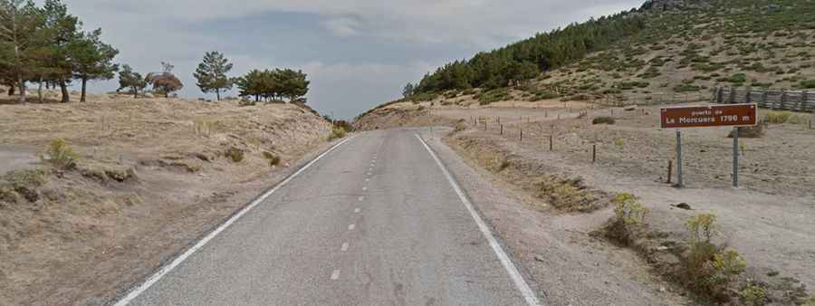
The road to the summit is called M-611. It’s asphalted, in poor conditions, and pretty steep, with sections up to 11.0%. The climb has been used by the Spanish Vuelta race. There are several routes to reach the summit. Starting from Rascafria, the ascent is 14 km long. Over this distance, the elevation gain is 658 meters. The average percentage is 4.7 %. Starting from Miraflores de la Sierra, the ascent is 9.2 km long. Over this distance, the elevation gain is 603 meters. The average percentage is 6.6 %. And starting from Guadalix de la Sierra, the ascent is 17 km long. Over this distance, the elevation gain is 926 meters. The average percentage is 5.4 %. It is subject to winter snowfalls with such a high summit altitude, and the road can be closed anytime when the access is not cleared of snow.