Driving the steep concrete road to Coll de l’Arca in Baix Penedès
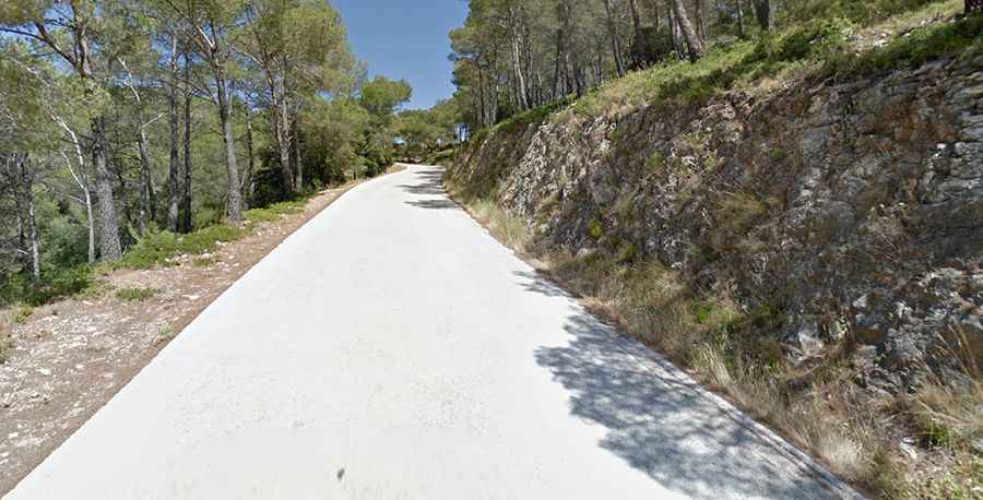
Coll de l’Arca is a mountain pass at an elevation of 605 meters (1,984 ft) above sea level, located in the Baix Penedès comarca, within the Tarragona province of Catalonia, in Spain. Situated in the Serra del Montmell, the narrow forest track has been surfaced with concrete to handle severe gradients, connecting Aiguaviva with La Juncosa del Montmell.
| Road facts: Coll de l’Arca | |
|---|---|
| Location | Baix Penedès, Tarragona, Catalonia (Spain) |
| Elevation | 605 m (1,984 ft) |
| Length | 6.1 km (3.79 miles) |
| Max Gradient | 15% |
What is the road surface like on Coll de l’Arca?
The track surface alternates between degraded asphalt and sectors of rough, grooved concrete laid down to prevent water erosion on the steepest hillsides. While the concrete offers high friction when dry, accumulation of loose gravel, dirt, and dry pine needles causes front-wheel wheelspin on the 15% ramps. The lane width is strictly limited to a single vehicle, lacking central lines or lateral space, requiring drivers to monitor the next bend to avoid head-on blockages.
How steep is the climb to Coll de l’Arca?
The southern approach from La Juncosa del Montmell is 3.5 km long and climbs 196 vertical meters. The ascent is characterized by consecutive, sudden ramps that hit 15% maximum gradient. On the descent toward Aiguaviva, the sustained slope forces heavy reliance on engine braking.
What are the main hazards on the Coll de l’Arca road?
The primary risk is meeting oncoming local tractors or agricultural vehicles on corners where blind geometry prevents early sighting. The concrete slab features sharp, unbacked outer margins that can slice tire sidewalls if a wheel slips off the paved track. Autumn rain covers the concrete with decomposing organic matter that eliminates grip, while wild boars and mountain goats frequently cross the path beneath the dense pine canopy during low-light hours.