Driving the brutal and steep Puerto de la Bobia in Asturias
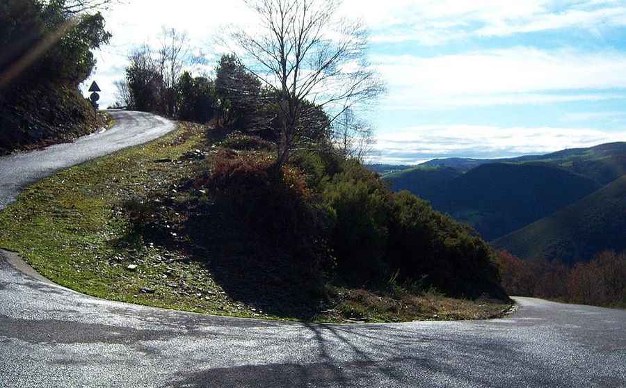
Puerto de la Bobia (also known as Alto da Serra da Bovia) is a mountain pass at an elevation of 1,103 meters (3,618 ft) above sea level, located in the Asturias region of northern Spain. Situated in the Sierra de La Bobia, the route crosses open mountain ridges along a narrow paved track.
| Road facts: Puerto de la Bobia | |
|---|---|
| Location | Asturias, Spain |
| Elevation | 1,103 m (3,618 ft) |
| Length | 10.47 km (6.5 miles) |
| Elevation Gain | 843 m (2,765 ft) |
| Average Gradient | 8.05% |
| Max Gradient | 20% |
| Surface | Paved (Rough asphalt and concrete) |
How steep is the climb to Puerto de la Bobia?
Starting from Soutelo, the ascent spans 10.47 kilometers (6.5 miles) with an elevation gain of 843 meters. The climb averages an 8.05% gradient, but includes continuous steep ramps that reach up to 20%. The initial 3.8 kilometers are single-lane width through forest sections, including a short concrete ramp near kilometer 3, before opening up onto the higher ridge past the Pastur junction at kilometer 5.
What is the road surface condition on Puerto de la Bobia?
The road surface varies significantly along the climb. The lower sector consists of narrow, uneven asphalt with frequent potholes and coarse aggregate. After the Pastur junction, the road widens slightly and gains center lane markings, though the asphalt remains coarse with high rolling resistance and noticeable surface vibration throughout the ascent.
What are the hazards on the Sierra de La Bobia climb?
The primary hazard on Puerto de la Bobia is the combination of extreme 20% inclines and narrow, single-lane sectors in the first 4 kilometers. Meeting oncoming traffic forces vehicles to stop or reverse to turnouts along the slope. Damp pavement from Asturian fog and rain reduces tire traction on the steepest sections, while the 843-meter drop requires low gears on the descent to use engine braking and prevent brake pads from overheating.
Is Puerto de la Bobia open in winter?
The pass remains accessible for most of the year, but heavy winter storms bring snow and ice to the upper ridge at 1,103 meters elevation. Secondary snowplowing schedules mean snow or ice accumulation can temporarily block the climb during mid-winter months.
Pic: https://fotos.subefotos.com/d5da978ca960be99f0cc860164826dc9o.jpg