Conquering the iconic road to Rasos de Peguera
Rasos de Peguera is a ski resort at an elevation of 1.897m (6,223ft) above the sea level, located in the province of Barcelona, in Spain. The road is not easy, though. Up, down, right, left all the time.
Where is Rasos de Peguera?
The resort is located in the comarca of Berguedà, in the province of Barcelona, in Catalonia, in the northeastern part of Spain.
Is the road to Rasos de Peguera paved?
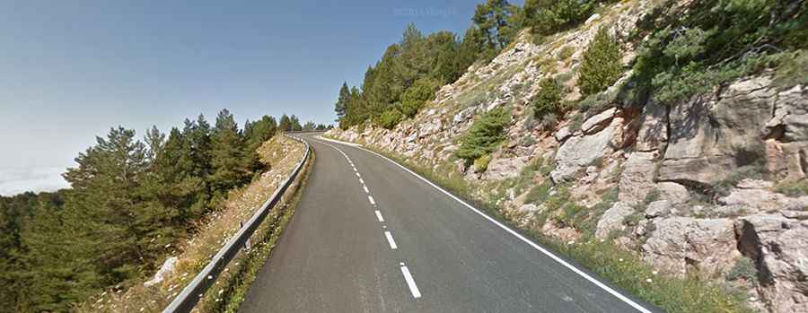
The road to the summit is called BV-4243. It’s entirely asphalted but pretty steep, with sections up to 18% at the beginning and 12% near the end. There is generally little traffic, although it can become busier during weekends, particularly in the summer.
Is the road to Rasos de Peguera open?
Set high in the Serra d'Ensija-els Rasos de Peguera national park, the pass is typically open all year round, but short-term closures are common in winter due to dangerous weather conditions.
How long is the road to Rasos de Peguera?
The climb has been often featured in the Vuelta a España race. Not recommended if you have passengers that don't like heights. Starting from Berga, the ascent is 14.8 km (9.19 miles) long with 7 hairpin turns. The elevation gain is 1.075 meters. The average gradient is 7.26%. Beyond the resort, a minor road (with unpaved and paved sections) leads to Coll de Peguera, Peguera, a ruined mountain town, and Mina del Griell, an abandoned mine.